Exeter-20may44.jpg
No higher resolution available.
Summary
| Description |
English:
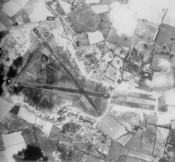
Exeter Airfield, England
|
||||||
| Date | |||||||
| Source | Freeman, Roger A., Airfields Of The Ninth, Then And Now, 1993 (where the annotations are from) | ||||||
| Author | Royal Ordinance Survey. | ||||||
|
Permission
( Reusing this file ) |
|

Original upload log
The original description page was
here
. All following user names refer to en.wikipedia.
- 2007-05-15 23:39 Bwmoll3 600×555×8 (81388 bytes) Exeter Airfield, England, 20 May 1944 Source: Royal Ordinance Survey. Crown Copyright expired 50 years after photograph taken in 1994. Annotations on photo from Freeman, Roger A., Airfields Of The Ninth, Then And Now, 1993