Flag-map_of_Prince_Edward_Island.svg

Size of this PNG preview of this SVG file:
800 × 386 pixels
.
Other resolutions:
320 × 154 pixels
|
640 × 309 pixels
|
1,024 × 494 pixels
|
1,280 × 617 pixels
|
2,560 × 1,235 pixels
|
1,072 × 517 pixels
.
Summary
| Description |
English:
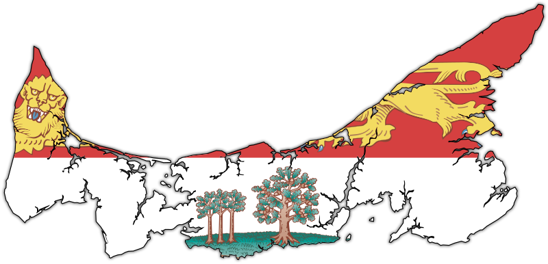
Flag-map of Prince Edward Island
|
| Date | (UTC) |
| Source | |
| Author | |
| SVG development |
Licensing
This file is licensed under the
Creative Commons
Attribution-Share Alike 3.0 Unported
license.
-
You are free:
- to share – to copy, distribute and transmit the work
- to remix – to adapt the work
-
Under the following conditions:
- attribution – You must give appropriate credit, provide a link to the license, and indicate if changes were made. You may do so in any reasonable manner, but not in any way that suggests the licensor endorses you or your use.
- share alike – If you remix, transform, or build upon the material, you must distribute your contributions under the same or compatible license as the original.
Original upload log
This image is a derivative work of the following images:
-
File:Canada_Prince_Edward_Island_location_map.svg
licensed with Cc-by-sa-3.0
- 2009-08-24T20:29:01Z NordNordWest 1039x822 (161580 Bytes) {{int:filedesc}} {{Information |Description= {{de|Positionskarte von [[:de:Prince Edward Island|Prince Edward Island]], [[:de:Kanada|Kanada]]}} Quadratische Plattkarte, N-S-Streckung 145 %. Geographische Begrenzung der Karte:
-
File:Flag_of_Prince_Edward_Island.svg
licensed with PD-self
- 2010-03-17T03:36:15Z Zscout370 1800x1200 (809356 Bytes) Compression
- 2009-12-15T20:59:09Z Zscout370 1800x1200 (1033860 Bytes) Combined some elements, now under 1 Meg.
- 2006-05-04T19:35:26Z Episteme 1800x1200 (1205255 Bytes) DOCTYPE added
- 2006-02-16T00:26:59Z Denelson83 1800x1200 (1205156 Bytes) Several defects fixed
- 2005-10-12T04:29:30Z E Pluribus Anthony 1800x1200 (622458 Bytes) Flag of Prince Edward Island
- 2005-10-09T07:23:17Z E Pluribus Anthony 1800x1200 (622572 Bytes) Flag of Prince Edward Island
- 2005-10-09T07:10:42Z E Pluribus Anthony 1800x1200 (622572 Bytes) Flag of Prince Edward Island
-
File:PEI-flag_contour.png
licensed with PD-self
- 2006-12-09T03:30:41Z Qyd 1035x495 (205909 Bytes) {{Information |Description=Contour of the province of [[Prince Edward Island]], [[Canada]], with flag overlay |Source=contour from GIS |Date=Oct 2006 |Author={{User|Qyd}} |Permission=PD |other_versions=None }} [[Category:Maps
Uploaded with derivativeFX