Flat_Tops_Wilderness_location_in_Colorado.png
Size of this preview:
800 × 579 pixels
.
Other resolutions:
320 × 231 pixels
|
640 × 463 pixels
|
1,024 × 741 pixels
|
1,280 × 926 pixels
|
2,560 × 1,852 pixels
|
3,500 × 2,532 pixels
.
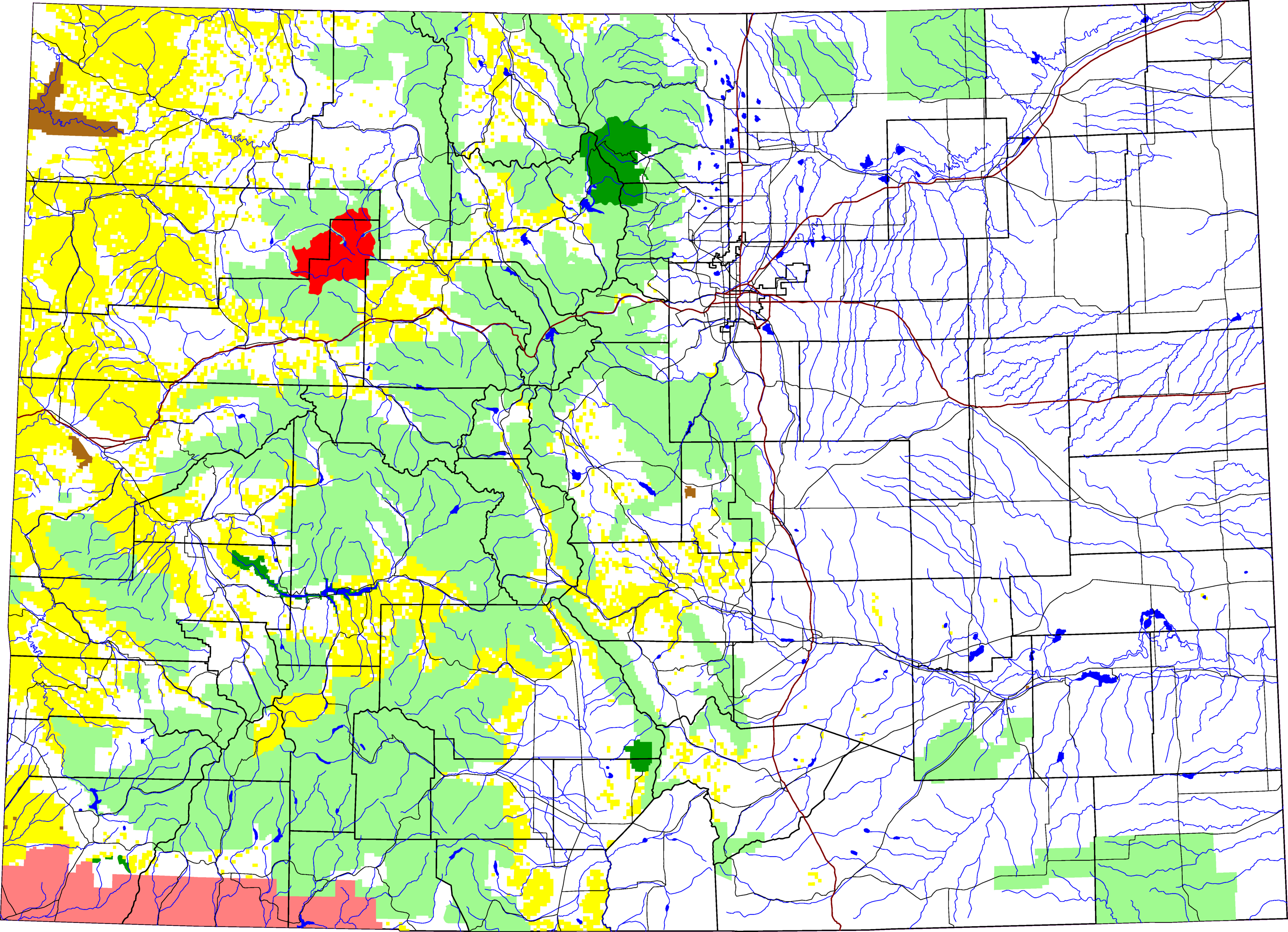
A map of Colorado showing the location of Flat Tops Wilderness Area in red. The light green is other Forest Service land, yellow is BLM land, dark green is National Park , brown is National Monument or National Historic Site , pink is Indian reservation. The reddish lines are Interstate Highways .
David Benbennick made this map with data from nationalatlas.gov .
The map uses the azimuthal equidistant projection , centered on (-105.7167, 39.1333) (degrees latitude, longitude). The area outside Colorado is transparent, so it should look nice on non-white backgrounds.
Eventually, I will upload the 4 megabyte Metapost script I used to make this map. In the mean time, see map.mp .
|
|
I, the copyright holder of this work, release this work into the
public domain
. This applies worldwide.
In some countries this may not be legally possible; if so: I grant anyone the right to use this work for any purpose , without any conditions, unless such conditions are required by law. |