Forest_park_wildwood_trail_in_early_summer_P2860.jpeg
Size of this preview:
556 × 600 pixels
.
Other resolutions:
222 × 240 pixels
|
445 × 480 pixels
|
712 × 768 pixels
|
949 × 1,024 pixels
|
2,100 × 2,265 pixels
.
Summary
| Description |
English:
Wildwood Trail in
Forest Park
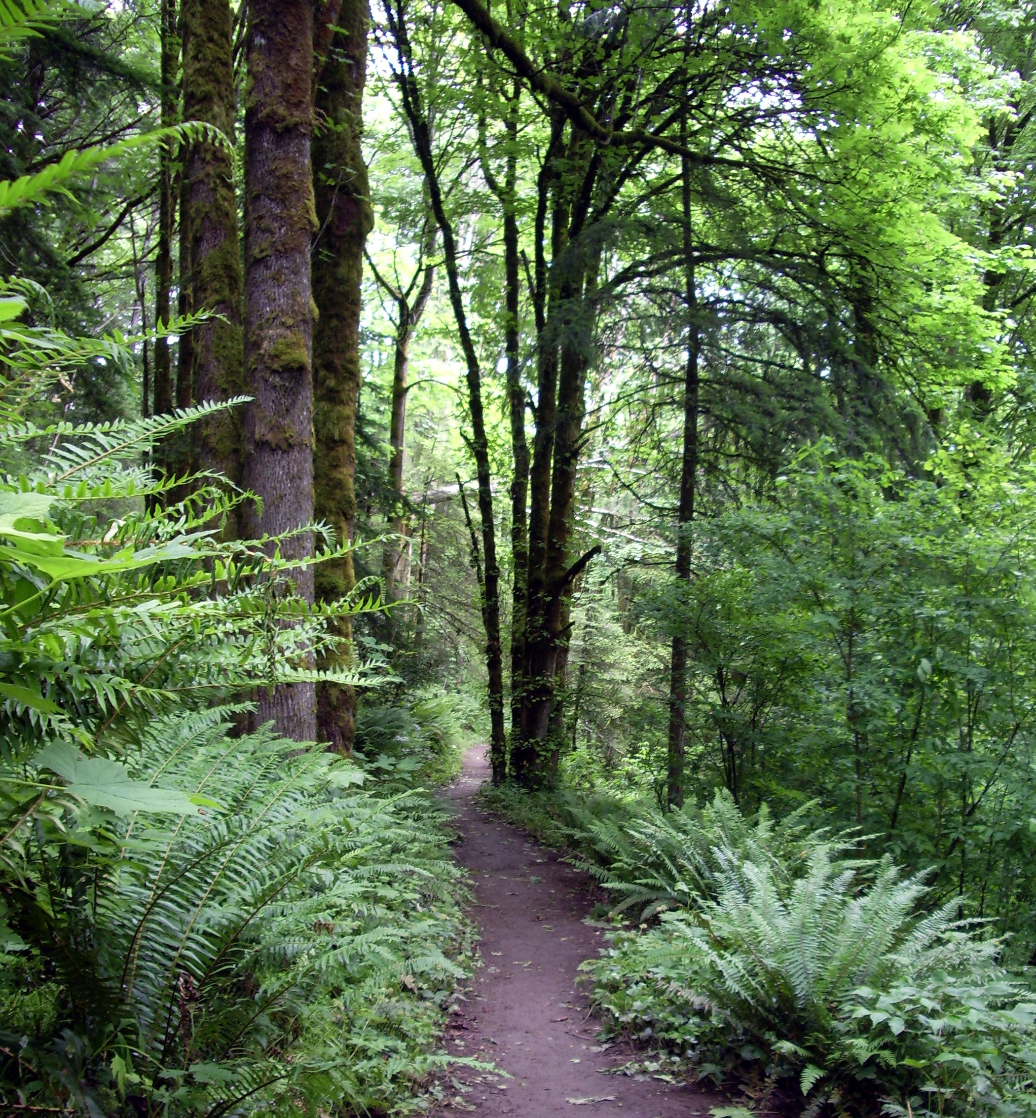
on a rainy spring day. Though not obvious, the trail is gradually sloping downward further away, even though there was some attempt to keep the grade of the Wildwood Trail close to level, it simply isn't practical in the hilly terrain. Curves are typical at every creek's valley to approximate a near level elevation profile.
This section is believed to be primarily old growth forest containing a mix of indigenous Douglas-fir, western hemlock and western red cedar, with some introduced species such as Oak, Alder, Holly, and others. Ferns are plentiful throughout Forest Park. Here Sword fern dominate nearby with Maidenhair and Bracken varieties near the trees at center. |
| Date | |
| Source | Own work |
| Author | EncMstr |
| Camera location |
|
View this and other nearby images on: OpenStreetMap |
|
|---|
Licensing
I, the copyright holder of this work, hereby publish it under the following licenses:
This file is licensed under the
Creative Commons
Attribution-Share Alike 3.0 Unported
license.
-
You are free:
- to share – to copy, distribute and transmit the work
- to remix – to adapt the work
-
Under the following conditions:
- attribution – You must give appropriate credit, provide a link to the license, and indicate if changes were made. You may do so in any reasonable manner, but not in any way that suggests the licensor endorses you or your use.
- share alike – If you remix, transform, or build upon the material, you must distribute your contributions under the same or compatible license as the original.

|
Permission is granted to copy, distribute and/or modify this document under the terms of the GNU Free Documentation License , Version 1.2 or any later version published by the Free Software Foundation ; with no Invariant Sections, no Front-Cover Texts, and no Back-Cover Texts. A copy of the license is included in the section entitled GNU Free Documentation License . |
You may select the license of your choice.