Former_Market_hall_Spilsby_-_geograph.org.uk_-_4620983_(cropped).jpg
No higher resolution available.
Summary
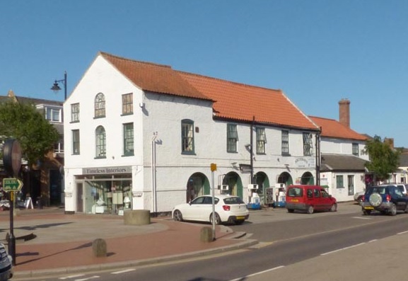
| Description | Old Town Hall, Spilsby |
| Date | |
| Source |
This file was derived from:
Former Market hall Spilsby - geograph.org.uk - 4620983.jpg
|
| Author | Norman Caesar |
|
Permission
( Reusing this file ) |
This file is licensed under the
Creative Commons
Attribution-Share Alike 2.0 Generic
license.
Attribution:
Norman Caesar
|
|
Attribution
( required by the license ) |
Norman Caesar / Former Market hall Spilsby / |
| Camera location |
|
View this and other nearby images on: OpenStreetMap |
|
|---|
.jpg¶ms=053.173710_N_0000.094900_E_globe:Earth_type:camera_source:geograph-osgb36(TF40116611)_region:GB-GBN_heading:67.00&language=en)
| Object location |
|
View this and other nearby images on: OpenStreetMap |
|
|---|
.jpg¶ms=053.173780_N_0000.095500_E_globe:Earth_class:object_type:object_source:geograph-osgb36(TF40156612)_region:GB-GBN_heading:67.00&language=en)
|
|
This is a
retouched picture
, which means that it has been digitally altered from its original version. Modifications:
cropped
. The original can be viewed here:
Former Market hall Spilsby - geograph.org.uk - 4620983.jpg
:
|