Former_Midland_Railway_Station_at_Weston,_Bath,UK_2006.jpg
Size of this preview:
800 × 600 pixels
.
Other resolutions:
320 × 240 pixels
|
640 × 480 pixels
|
1,024 × 768 pixels
.
| Description |
English:
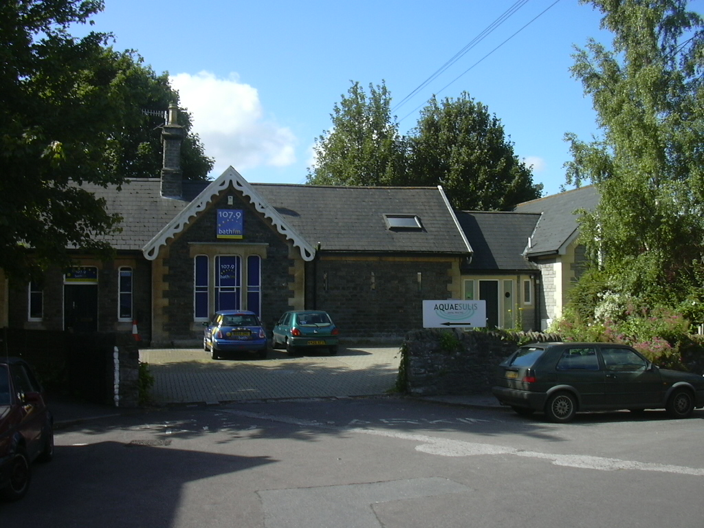
This station was on the Midland Railway between Bath and Bitton. It is in the suburb formerly known as "Lower Weston", about a mile to the south-east of Weston village (or "Upper Weston"). In 2007 it was owned by Bath FM a local radio channel, (allowing a punning re-use of the word "station"
|
| Date | 8 July 2007 (original upload date) |
| Source | Transferred from en.wikipedia to Commons by Mattbuck using CommonsHelper . |
| Author | The original uploader was By1l at English Wikipedia . |
|
Permission
( Reusing this file ) |
This file is licensed under the
Creative Commons
Attribution-Share Alike 2.5 Generic
license.
|
| Camera location |
|
View this and other nearby images on: OpenStreetMap |
|
|---|
Original upload log
The original description page was
here
. All following user names refer to en.wikipedia.
- 2007-07-08 19:39 By1l 1024×768× (488257 bytes) This station was on the Midland Railway between Bath and Bitton. It is in the suburb formerly known as "Lower Weston", about a mile to the south-east of Weston village (or "Upper Weston"). In 2007 it was owned by Bath FM a local radio channel, (allowing a punning re-use of the word "station"