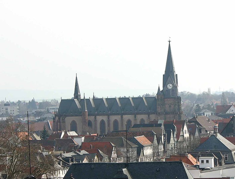
Friedberg_(Hessen)_Stadtkirche.jpg

- Beschreibung: "Stadtkirche" in Friedberg
|
|
This is a picture of the
Hessian
Kulturdenkmal
(
cultural monument
) with the ID
5526
(
Wikidata
)
|
- Quelle: selbst fotografiert am 27. März 2005
-
Fotograf:
|
Sven Teschke
(1964–)
|
|||
|---|---|---|---|
| Description | German photographer and author | ||
| Date of birth |
1964
|
||
| Location of birth | Hanau | ||
| Work period |
1985
|
||
| Work location | |||
| Authority file | |||
- Andere Versionen:
- Lizenzstatus: GNU FDL

|
Permission is granted to copy, distribute and/or modify this document under the terms of the GNU Free Documentation License , Version 1.2 or any later version published by the Free Software Foundation ; with no Invariant Sections, no Front-Cover Texts, and no Back-Cover Texts. A copy of the license is included in the section entitled GNU Free Documentation License . |
|
|
This file is licensed under the Creative Commons Attribution-Share Alike 3.0 Unported license. | |
|
||
| This licensing tag was added to this file as part of the GFDL licensing update . |
|
Das Foto habe ich als Urheber unter der „ GFDL – GNU-Lizenz für freie Dokumentation “ in der Wikipedia veröffentlicht. Dies bedeutet, dass eine kostenlose, auch kommerzielle Nutzung außerhalb der Wikimedia-Projekte unter folgenden Bedingungen möglich ist:
Ich bitte um Zusendung eines Belegexemplares bzw. der URL, wo das Foto benutzt wird. Bitte schreiben Sie eine E-Mail an [email protected] , wenn Sie
|
|
I have published this image as author under the " GNU Free Documentation License " in Wikipedia. This means that free, commercial usage outside of Wikimedia projects under the following terms of licence is possible:
Please send me a specimen copy or the URL of the website where the image is used. Please write an email to [email protected] , if you
|
| Object location |
|
View this and other nearby images on: OpenStreetMap |
|
|---|
_Stadtkirche.jpg¶ms=050.336778_N_0008.755222_E_globe:Earth_class:object_type:object__&language=en)
| Camera location |
|
View this and other nearby images on: OpenStreetMap |
|
|---|
_Stadtkirche.jpg¶ms=050.342722_N_0008.752889_E_globe:Earth_type:camera__&language=en)