Fur_Seal_at_Cape_Cross,_Namibia_(3045707919).jpg
Size of this preview:
800 × 532 pixels
.
Other resolutions:
320 × 213 pixels
|
640 × 426 pixels
|
1,024 × 681 pixels
|
1,280 × 851 pixels
|
3,008 × 2,000 pixels
.
Summary
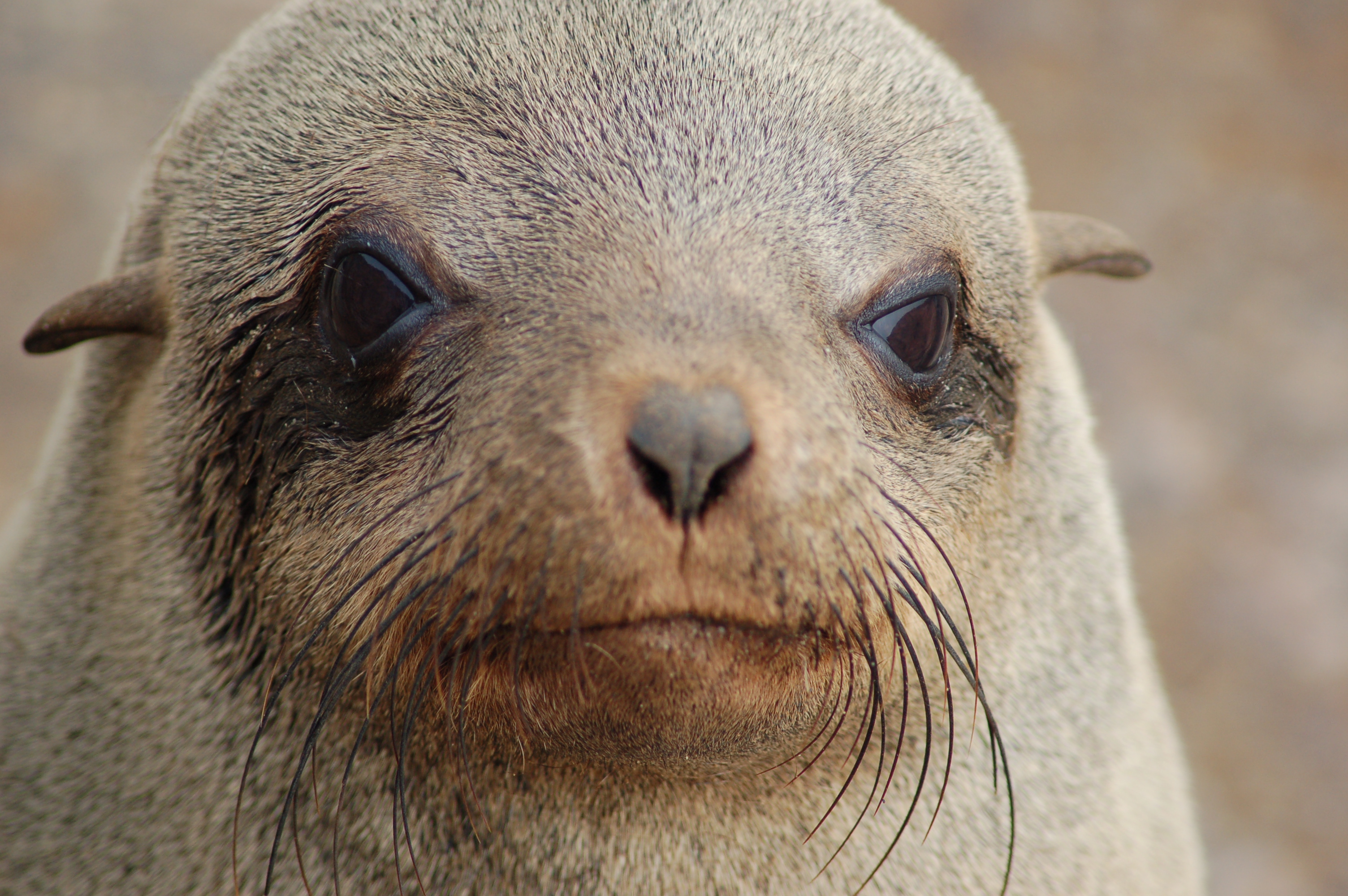
| Description | Seals at Cape Cross, Namibia |
| Date | |
| Source |
|
| Author | Joachim Huber from Switzerland |
| Camera location |
|
View this and other nearby images on: OpenStreetMap |
|
|---|
.jpg¶ms=-21.766195_N_0013.957958_E_globe:Earth_type:camera_source:Flickr_&language=en)
Licensing
This file is licensed under the
Creative Commons
Attribution-Share Alike 2.0 Generic
license.
Attribution:
Joachim Huber
-
You are free:
- to share – to copy, distribute and transmit the work
- to remix – to adapt the work
-
Under the following conditions:
- attribution – You must give appropriate credit, provide a link to the license, and indicate if changes were made. You may do so in any reasonable manner, but not in any way that suggests the licensor endorses you or your use.
- share alike – If you remix, transform, or build upon the material, you must distribute your contributions under the same or compatible license as the original.
|
|
This image was originally posted to Flickr by Sara&Joachim at https://flickr.com/photos/8942661@N02/3045707919 ( archive ). It was reviewed on 3 November 2018 by FlickreviewR 2 and was confirmed to be licensed under the terms of the cc-by-sa-2.0. |
| This file by Joachim Huber was uploaded as part of the Share Your Knowledge project developed within WikiAfrica . |
|