Haiyan_2007-08-05_0205Z.jpg

Size of this preview:
450 × 600 pixels
.
Other resolutions:
180 × 240 pixels
|
360 × 480 pixels
|
576 × 768 pixels
|
768 × 1,024 pixels
|
1,536 × 2,048 pixels
|
3,000 × 4,000 pixels
.
Summary
| Description |
English:
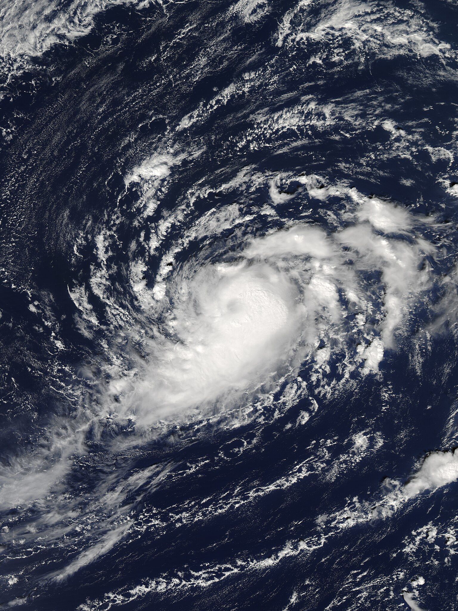
Tropical Storm Haiyan near peak intensity on October 5, 2007.
|
| Date | |
| Source | http://www.nrlmry.navy.mil/tcdat/tc07/WPAC/27W.HAIYAN/vis/modis/qkm/ |
| Author | U.S. Naval Research Laboratory |
| Camera location |
|
View this and other nearby images on: OpenStreetMap |
|
|---|
Licensing
|
|
This file is a work of a sailor or employee of the
U.S. Navy
, taken or made as part of that person's official duties. As a
work
of the
U.S. federal government
, it is in the
public domain
in the United States.
|

|
| This file has been identified as being free of known restrictions under copyright law, including all related and neighboring rights. | ||