Historisches_Stellwerk_Kerzers_01_10.jpg
Size of this preview:
800 × 533 pixels
.
Other resolutions:
320 × 213 pixels
|
640 × 426 pixels
|
1,024 × 682 pixels
|
1,280 × 853 pixels
|
1,575 × 1,049 pixels
.
Summary
| Camera location |
|
View this and other nearby images on: OpenStreetMap |
|
|---|
| Description |
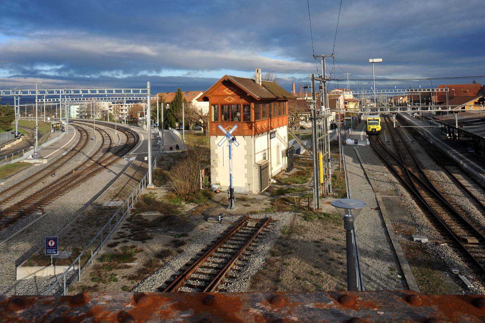
English:
Historical signal box in Kerzers; Fribourg, Switzerland. Left the rail track direction Neuchâtel right direction Lyss.
Deutsch:
Historisches Stellwerk in Kerzers; Fribourg, Schweiz. Links Geleise Richtung Neuchâtel, rechts Richtung Lyss.
|
||
| Date | |||
| Source | Own work | ||
| Author | Хрюша |
| Object location |
|
View this and other nearby images on: OpenStreetMap |
|
|---|
Licensing
I, the copyright holder of this work, hereby publish it under the following license:
This file is licensed under the
Creative Commons
Attribution-Share Alike 3.0 Unported
license.
-
You are free:
- to share – to copy, distribute and transmit the work
- to remix – to adapt the work
-
Under the following conditions:
- attribution – You must give appropriate credit, provide a link to the license, and indicate if changes were made. You may do so in any reasonable manner, but not in any way that suggests the licensor endorses you or your use.
- share alike – If you remix, transform, or build upon the material, you must distribute your contributions under the same or compatible license as the original.

|
This media was created by
Chriusha/Хрюша
.
|
|
Attribution
( required by the license ) |
|
| Additional information: | |
|
|
The mentioned licence on my media is exclusively valid for the version and resolution up to the shown on Wikimedia Commons. Any other version of the shown media or higher resolution optionally available on another website is not included in this licencing and not allowed for free use. |
|
|
The values of focal length and aperture in the metadata need to be read with precaution!
|