Hong_Kong_Railway_Route_Map_blank.svg

Size of this PNG preview of this SVG file:
655 × 599 pixels
.
Other resolutions:
262 × 240 pixels
|
525 × 480 pixels
|
839 × 768 pixels
|
1,119 × 1,024 pixels
|
2,238 × 2,048 pixels
|
1,038 × 950 pixels
.
Summary
| Description |
English:
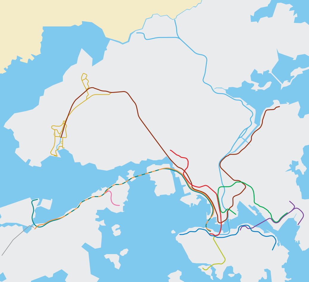
Blank svg route map for MTR (EN), the Hong Kong metro/subway system. It does not mean to be wholly accurate but offers a roughly geographical sense of Hong Kong territories and the MTR system.
|
||
| SVG development |
This
map
was created with
Adobe Illustrator
.
|
||
| Date | |||
| Source | Edited based on File:Hong Kong Railway Route Map en.svg | ||
| Creator |
Peterwhy
, based on works by
Sameboat
;
File:ISL ga map.png
,
File:TWL ga map.png
,
File:KTL ga map.png
,
File:LAR ga map.png
|
||
|
Permission
( Reusing this file ) |
|
||
| Georeferencing | If inappropriate please set warp_status = skip to hide. | ||
| Other versions | File:Hong Kong Railway Route Map en.svg , File:Hong Kong Railway Route Map zh.svg , File:Hong Kong Railway Route Map de.svg , File:Hong Kong Railway Route Map 2007 en.svg , File:Hong Kong MTR Route Map 2007 en.svg |