Humboldt_Bay_and_Eureka_aerial_view.jpg
Size of this preview:
800 × 534 pixels
.
Other resolutions:
320 × 214 pixels
|
640 × 427 pixels
|
1,024 × 683 pixels
|
1,500 × 1,001 pixels
.
Summary
| Description |
English:
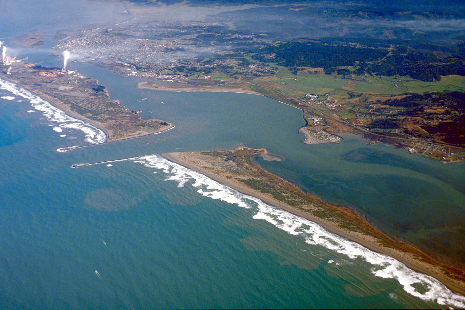
Aerial view of Humboldt Bay and the city of Eureka in Humboldt County, California, USA. View is to the northeast.
Coordinates:
40°45′13.53″N
124°12′54.73″W
/
40.7537583°N 124.2152028°W
|
| Date | not specified or unknown. Photo uploaded on May 3, 2007; but exact date of the photo is unknown. Either from 2007 or before that. |
| Source |
U.S. Army Corps of Engineers Digital Visual Library
Image page Image description page Digital Visual Library home page |
| Author | Robert Campbell |
|
Permission
( Reusing this file ) |
|
| Location | Humboldt Bay, Humboldt County, California, USA |
Licensing

|
Permission is granted to copy, distribute and/or modify this document under the terms of the GNU Free Documentation License , Version 1.2 or any later version published by the Free Software Foundation ; with no Invariant Sections, no Front-Cover Texts, and no Back-Cover Texts. A copy of the license is included in the section entitled GNU Free Documentation License . |
This file is licensed under the
Creative Commons
Attribution-Share Alike 3.0 Unported
license.
-
You are free:
- to share – to copy, distribute and transmit the work
- to remix – to adapt the work
-
Under the following conditions:
- attribution – You must give appropriate credit, provide a link to the license, and indicate if changes were made. You may do so in any reasonable manner, but not in any way that suggests the licensor endorses you or your use.
- share alike – If you remix, transform, or build upon the material, you must distribute your contributions under the same or compatible license as the original.