Huntington-village-map-ny.gif
No higher resolution available.
Summary
| Description |
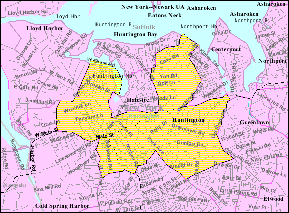
English:
Huntington
map from U.S. Census
|
| Source | US gov |
| Author | U.S. Census Bureau |
Licensing
|
|
This image or file is a work of a
United States Census Bureau
employee, taken or made as part of that person's official duties. As a
work
of the
U.S. federal government
, the image is in the
public domain
.
|

|
Original upload log
The original description page was
here
. All following user names refer to en.wikipedia.
| Date/Time | Dimensions | User | Comment |
|---|---|---|---|
| 2007-11-26 03:14 | 575×425× (68779 bytes) | Americasroof | [[Huntington, New York]] map from U.S. Census |