Hurricane_Irene_landfall_NASA.jpg
Size of this preview:
724 × 599 pixels
.
Other resolutions:
290 × 240 pixels
|
580 × 480 pixels
|
928 × 768 pixels
|
1,237 × 1,024 pixels
|
2,388 × 1,977 pixels
.
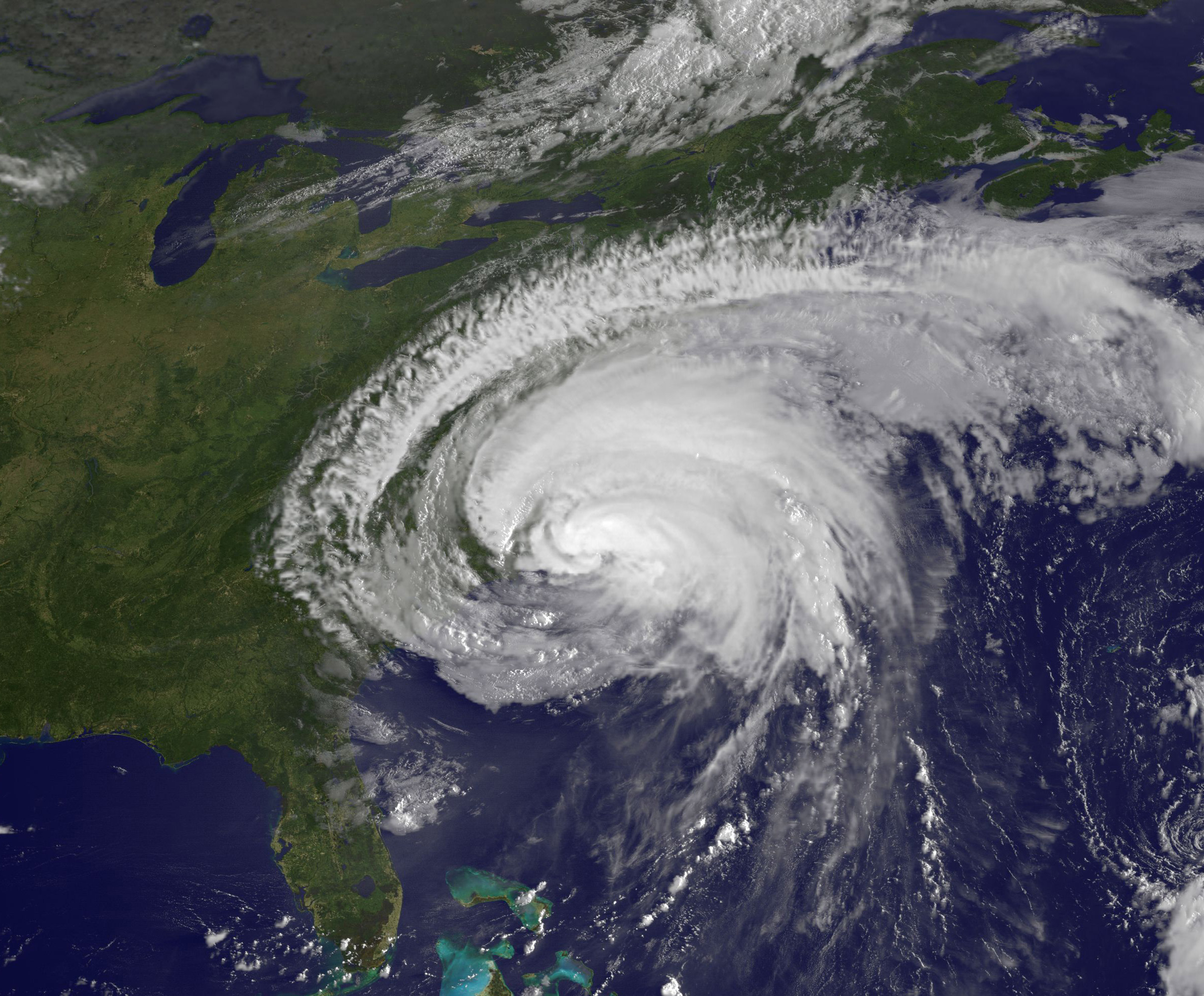
| Description | Image of w:Hurricane Irene (2011) as seen by NASA's GOES-13 satellite on August 27, 2011 at 10:10 am EDT, about two hours after it made landfall at Cape Lookout, North Carolina, at 8 am. Irene's outer bands had already extended into New England. | |||||
| Date | 10:10 EDT | |||||
| Source | http://mashable.com/2011/08/26/hurricane-irene-from-space/ (direct URL [1] ) | |||||
| Author | NASA/NOAA GOES Project | |||||
|
Permission
( Reusing this file ) |
|
|||||
| Other versions | https://www.flickr.com/photos/gsfc/6085588376 |

![[1]](http://7.mshcdn.com/wp-content/uploads/2011/08/irene-makes-landfall-original.jpg)