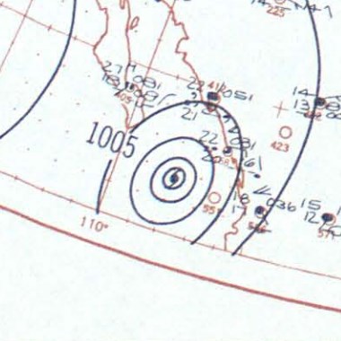
Hurricane_Twelve_surface_analysis_October_21,_1957.jpg
No higher resolution available.
Summary
| Description |
English:
Surface analysis map of Hurricane Twelve on October 21, 1957
|
| Date | |
| Source | https://library.noaa.gov/Collections/Digital-Collections/Daily-Synoptic-Weather-Maps |
| Author | NOAA |
Licensing
|
|
This image is in the
public domain
because it contains materials that originally came from the U.S.
National Oceanic and Atmospheric Administration
, taken or made as part of an employee's official duties.
|
|