I-405_at_CA_19.jpg

Size of this preview:
800 × 543 pixels
.
Other resolutions:
320 × 217 pixels
|
640 × 434 pixels
|
896 × 608 pixels
.
|
|
This image is in the
public domain
in the United States because it only contains materials that originally came from the
United States Geological Survey
, an agency of the
United States Department of the Interior
. For more information, see
the official USGS copyright policy
.
|
|
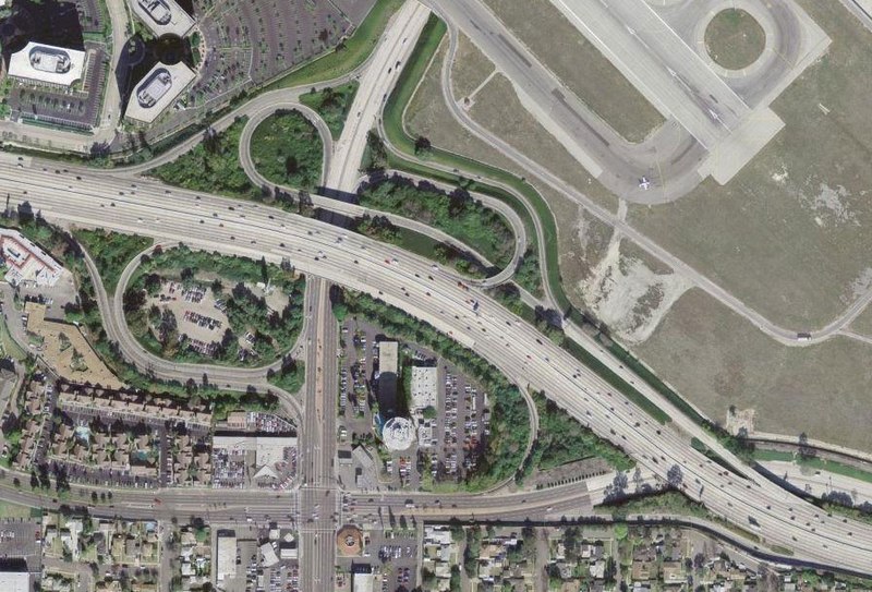
An aerial photo from March 29, 2004 of the w:Interstate 405 / w:California State Highway 19 interchange near w:Los Angeles, California , a modified w:cloverleaf interchange .
33°48′21″N 118°08′31″W / 33.80595°N 118.142048°W
| Object location |
|
View this and other nearby images on: OpenStreetMap |
|
|---|