IJssellinie_encased_tank.jpg
Size of this preview:
800 × 600 pixels
.
Other resolutions:
320 × 240 pixels
|
640 × 480 pixels
|
1,024 × 768 pixels
|
1,280 × 960 pixels
.
Summary
| Description |
English:
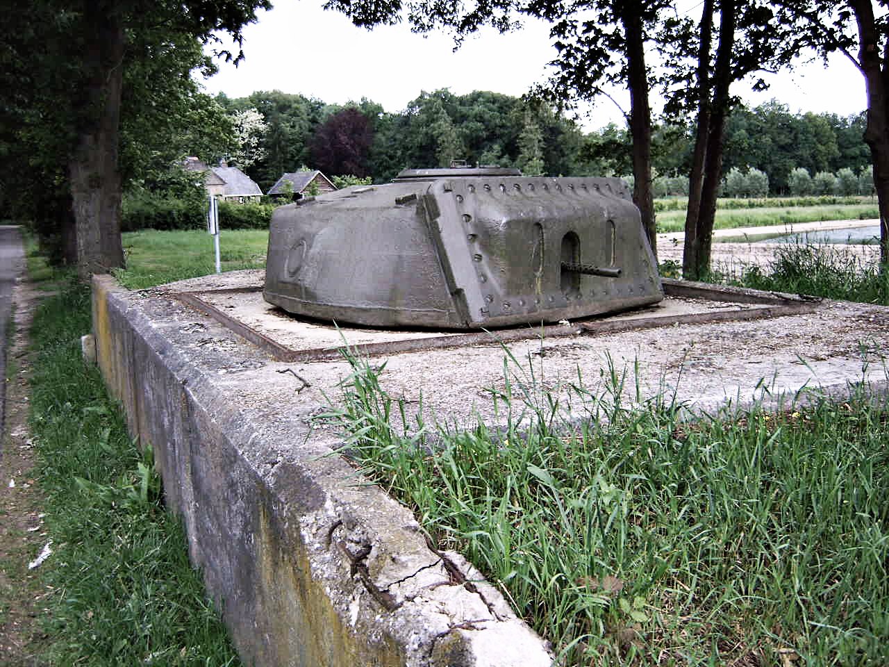
Reconstructed small fortification, consisting of a RAM tank encased in concrete. Part of the IJssellinie inundation works, east of the IJssel river, near Olst, the Netherlands. Picture used in
nl:IJssellinie
|
| Date | |
| Source | Own work |
| Author | Martin van Dalen (MartinD) |
|
Permission
( Reusing this file ) |
see CC-by-SA 2.5 (Dutch version) licence |
| Camera location |
|
View this and other nearby images on: OpenStreetMap |
|
|---|
Licensing
This file is licensed under the
Creative Commons
Attribution-Share Alike 2.5 Netherlands
license.
-
You are free:
- to share – to copy, distribute and transmit the work
- to remix – to adapt the work
-
Under the following conditions:
- attribution – You must give appropriate credit, provide a link to the license, and indicate if changes were made. You may do so in any reasonable manner, but not in any way that suggests the licensor endorses you or your use.
- share alike – If you remix, transform, or build upon the material, you must distribute your contributions under the same or compatible license as the original.
