Ikaasaartik-strait-icefloes-aerial.jpg
Size of this preview:
800 × 450 pixels
.
Other resolutions:
320 × 180 pixels
|
640 × 360 pixels
|
1,024 × 575 pixels
|
1,280 × 719 pixels
|
2,560 × 1,439 pixels
|
3,872 × 2,176 pixels
.
Summary
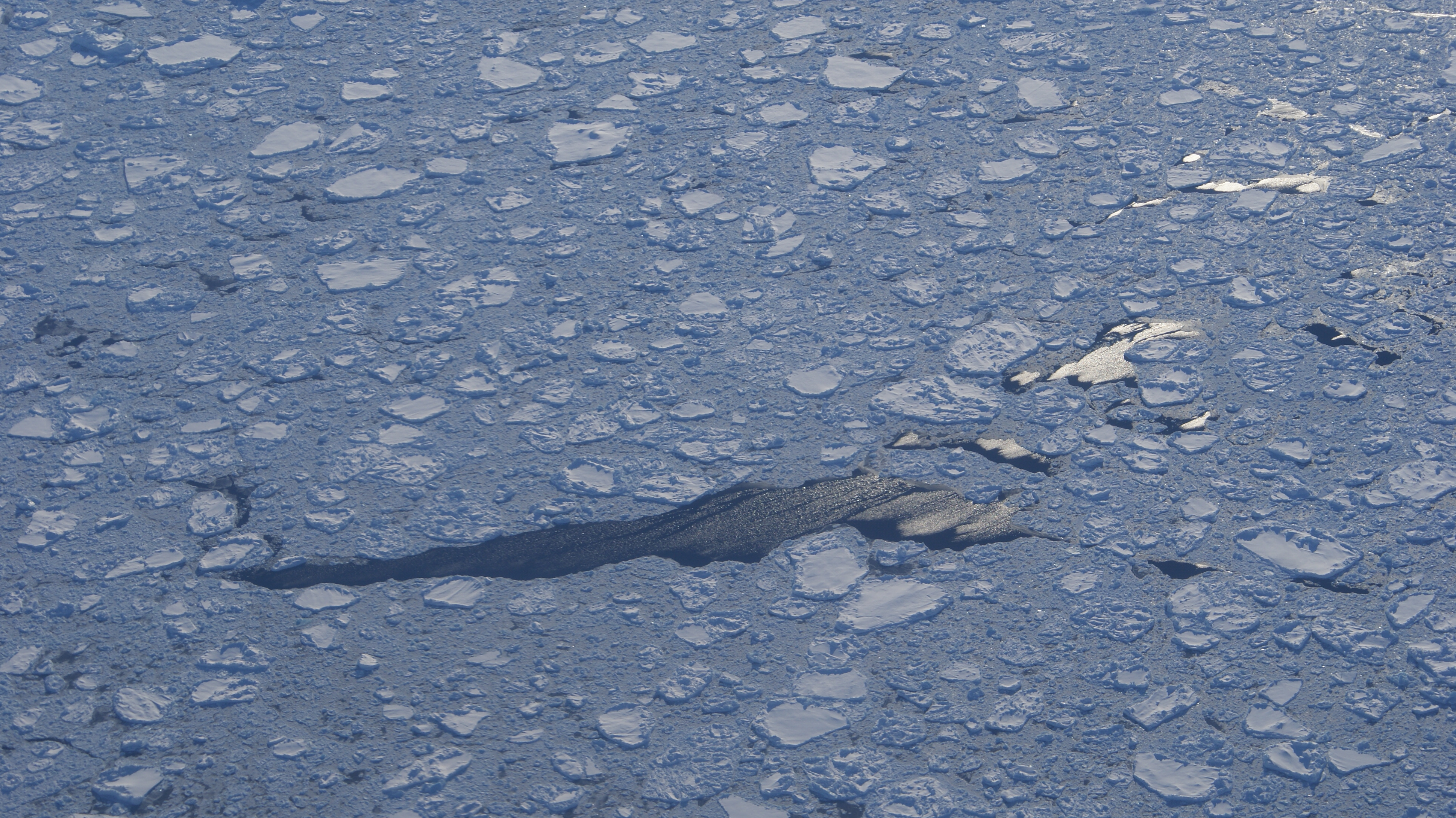
| Description | Aerial view of Ikaasaartik Strait, southeastern Greenland. Icefloes and leads in the mouth of the strait, at the confluence with the open North Atlantic (for some value of open , that is). Photographed from the Flugfélag Íslands de Havilland Canada Dash-8 106 during the Kulusuk-Reykjavík flight. |
| Date | |
| Source | Own work |
| Author | Algkalv ( talk ) |
Licensing
I, the copyright holder of this work, hereby publish it under the following license:
This file is licensed under the
Creative Commons
Attribution-Share Alike 3.0 Unported
license.
-
You are free:
- to share – to copy, distribute and transmit the work
- to remix – to adapt the work
-
Under the following conditions:
- attribution – You must give appropriate credit, provide a link to the license, and indicate if changes were made. You may do so in any reasonable manner, but not in any way that suggests the licensor endorses you or your use.
- share alike – If you remix, transform, or build upon the material, you must distribute your contributions under the same or compatible license as the original.