Imera-meridionale-map-bjs.jpg
No higher resolution available.
Summary
| Description |
English:
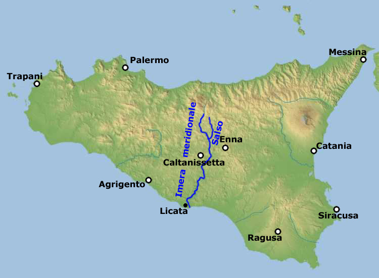
Physical map of Sicily, equirectangular cylindrical projection, including the course of river Imera meridionale (also called Salso) with its two source rivers Imera meridionale and Salso
Deutsch:
Imera Meridionale / Salso.
Polski:
Imera Meridionale/Salso.
Italiano:
Imera Meridionale / Salso.
Latina:
Huic imagini nondum est descriptio, quaeso descriptionem adde.
Sicilianu:
L'Imera Miridiunali o Salsu.
|
| Date | |
| Source |
|
| Author | Edited by Bjs |
Licensing
This file is licensed under the
Creative Commons
Attribution-Share Alike 2.5 Generic
license.
-
You are free:
- to share – to copy, distribute and transmit the work
- to remix – to adapt the work
-
Under the following conditions:
- attribution – You must give appropriate credit, provide a link to the license, and indicate if changes were made. You may do so in any reasonable manner, but not in any way that suggests the licensor endorses you or your use.
- share alike – If you remix, transform, or build upon the material, you must distribute your contributions under the same or compatible license as the original.
|
|
This file, which was originally posted to
FreeWorldMaps
at the
Wayback Machine
. See also
Index of /europe/italy/sicily
at the
Wayback Machine
, was reviewed on 22 January 2018 by
reviewer
Majora
, who confirmed that it was available there under the stated license on that date.
|