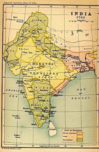
Map of India in 1765 from Imperial Gazetteer of India, volume 26, Atlas, Oxford University Press, 1908. Scanned from personal copy and uploaded by
Fowler&fowler
«Talk»
02:53, 25 February 2009 (UTC)
Date
Source
Imperial Gazetteer of India, volume 26, Atlas, Oxford University Press, 1908
Permission is granted to copy, distribute and/or modify this document under the terms of the
GNU Free Documentation License
, Version 1.2 or any later version published by the
Free Software Foundation
; with no Invariant Sections, no Front-Cover Texts, and no Back-Cover Texts. A copy of the license is included in the section entitled
GNU Free Documentation License
.
http://www.gnu.org/copyleft/fdl.html
GFDL
GNU Free Documentation License
true
true
This file may not have the correct information on its
copyright
status
.
This template should be used when a file's licensing information seems to be incorrect or inaccurate, to prompt discussion or review by other editors. An experienced editor should contact the uploader and add the proper
license tag
, or discuss the issue on the
talk page
.
Notify the uploader with:
{{subst:
Wrong license note
|1=File:India-ImperialGazetteer-1765.jpg}} ~~~~
If this file has insufficient source information, use
{{subst:

nsd

}}
.
If this file does not have a sufficient claim of permission, use
{{subst:

npd

}}
.
If this file is a blatant copyright infringement, use
{{Copyvio}}
.


.jpg)