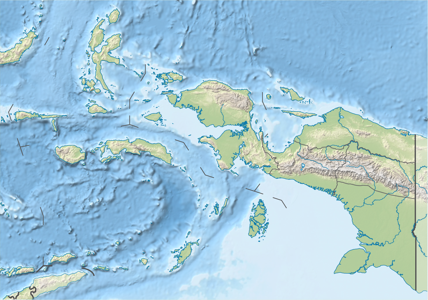
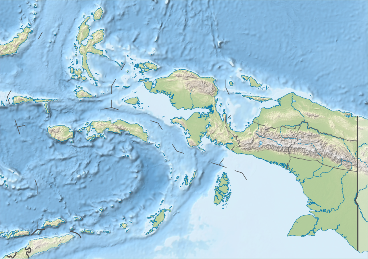
Indonesia_Maluku-Western_New_Guinea_topography_location_map.png
Size of this preview:
800 × 562 pixels
.
Other resolutions:
320 × 225 pixels
|
640 × 450 pixels
|
1,024 × 720 pixels
|
1,280 × 900 pixels
|
1,474 × 1,036 pixels
.
Summary
| Description |
Quadratische Plattkarte. Geographische Begrenzung der Karte:
Equirectangular projection. Geographic limits of the map:
|
|||
| Date | ||||
| Source |
Own work , using
|
|||
| Author | NordNordWest | |||
|
Permission
( Reusing this file ) |
This file is licensed under the
Creative Commons
Attribution-Share Alike 3.0 Germany
license.

This file is licensed under the
Creative Commons
Attribution-Share Alike 3.0 Germany
license.
|
|||
| Other versions |
|


|
This map has been made or improved in the German
Kartenwerkstatt
(Map Lab)
. You can
propose maps
to improve as well.
|