Inselgraben_Eilenriede.jpg

Size of this preview:
800 × 446 pixels
.
Other resolutions:
320 × 178 pixels
|
640 × 357 pixels
|
998 × 556 pixels
.
Summary
| Description |
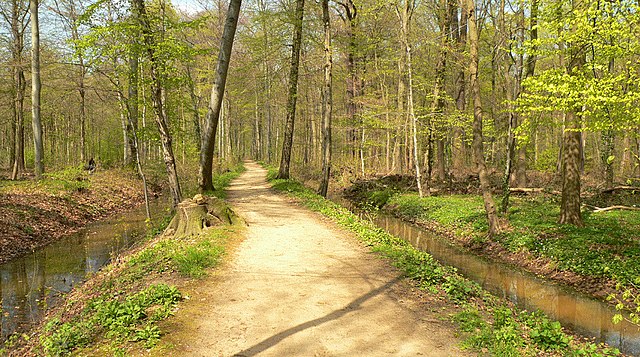
Deutsch:
Wall- und Grabenrest der mittelalterliche
Landwehr
in der Eilenriede
am Inselgraben hinter dem Zoo.
|
| Date | Taken in April 2008 |
| Source | Own work |
| Author | Axel Hindemith at de.wikipedia |
| Object location |
|
View this and other nearby images on: OpenStreetMap |
|
|---|
}}
Licensing
|
|
This work has been released into the
public domain
by its author,
AxelHH
at
German Wikipedia
. This applies worldwide.
In some countries this may not be legally possible; if so: AxelHH grants anyone the right to use this work for any purpose , without any conditions, unless such conditions are required by law. |
Original upload log
The original description page was
here
. All following user names refer to de.wikipedia.
- 2008-07-13 13:24 AxelHH 998×556× (526504 bytes) Neue Version vom April 2008
- 2006-05-01 23:25 AxelHH 683×426× (125944 bytes)
- 2005-10-30 17:50 Axel Hindemith 515×349× (73784 bytes) GNU-FDL