Into_Erie_Basin_jeh.JPG
Size of this preview:
800 × 377 pixels
.
Other resolutions:
320 × 151 pixels
|
640 × 302 pixels
|
1,024 × 483 pixels
|
1,280 × 603 pixels
|
3,072 × 1,448 pixels
.
Summary
| Description |
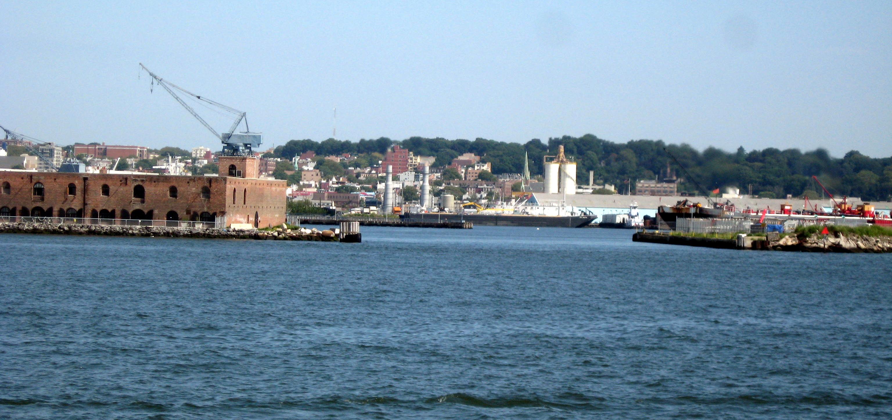
English:
Looking southeast, zoomed, into Erie Basin from ferry rounding
en:Red Hook, Brooklyn
on a sunny afternoon
|
| Date | Taken on 7 August 2008 |
| Source | Own work |
| Author | Jim.henderson |
| Camera location |
|
View this and other nearby images on: OpenStreetMap |
|
|---|
Licensing
|
|
I, the copyright holder of this work, release this work into the
public domain
. This applies worldwide.
In some countries this may not be legally possible; if so: I grant anyone the right to use this work for any purpose , without any conditions, unless such conditions are required by law. |