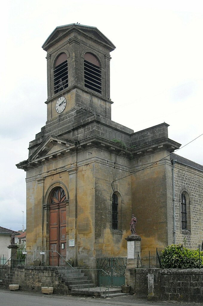
Iré-le-Sec,_Eglise_Saint-Hubert.jpg

Size of this preview:
397 × 599 pixels
.
Other resolutions:
159 × 240 pixels
|
318 × 480 pixels
|
509 × 768 pixels
|
679 × 1,024 pixels
|
2,168 × 3,270 pixels
.
| Description |
Français :
L'église Saint-Hubert d'
Iré-le-Sec
Deutsch:
Kirche St. Hubertus in
Iré-le-Sec
|
||
| Date | |||
| Source | Self-photographed | ||
| Author | Rauenstein | ||
|
Permission
( Reusing this file ) |
|
| Object location |
|
View this and other nearby images on: OpenStreetMap |
|
|---|