Jerusalem_Dome_of_the_rock_BW_1.JPG

Size of this preview:
800 × 536 pixels
.
Other resolutions:
320 × 214 pixels
|
640 × 429 pixels
|
1,024 × 686 pixels
|
1,280 × 858 pixels
|
2,560 × 1,716 pixels
|
3,832 × 2,568 pixels
.
|
|
This image has been assessed using the
Quality image guidelines
and is considered a
Quality image
.
|
Summary
| Camera location |
|
View this and other nearby images on: OpenStreetMap |
|
|---|
| Description |
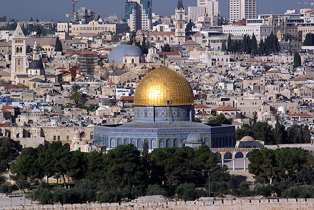
English:
Jerusalem, Dome of the rock, in the background the Church of the Holy Sepulchre
Deutsch:
Jerusalem, Felsendom, im Hintergrund die Grabeskirche
|
| Date | Taken on 9 November 2008 |
| Source | Own work |
| Author | Berthold Werner |
| Other versions | https://www.artflakes.com/de/products/jerusalem-der-felsendom-vom-olberg-aus-gesehen |
Licensing
|
|
I, the copyright holder of this work, release this work into the
public domain
. This applies worldwide.
In some countries this may not be legally possible; if so: I grant anyone the right to use this work for any purpose , without any conditions, unless such conditions are required by law. |
secondo tutti noi il primo posto che verra distrutto prima della fine del mondo sarà il gerusalemme ad andarsene!!!o meglio la casa dei santi(GESù,MARIA,ECT)vi ringrazio dell'attenzione