Jerusalem_Western_Wall_BW_2.JPG

Size of this preview:
800 × 533 pixels
.
Other resolutions:
320 × 213 pixels
|
640 × 426 pixels
|
1,024 × 682 pixels
|
1,280 × 853 pixels
|
2,560 × 1,705 pixels
|
3,115 × 2,075 pixels
.
Summary
| Camera location |
|
View this and other nearby images on: OpenStreetMap |
|
|---|
| Description |
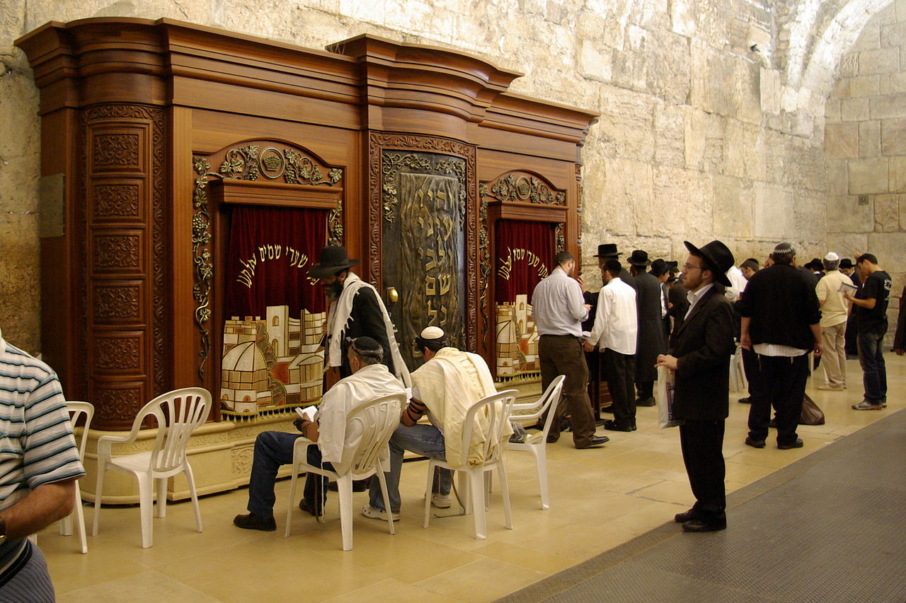
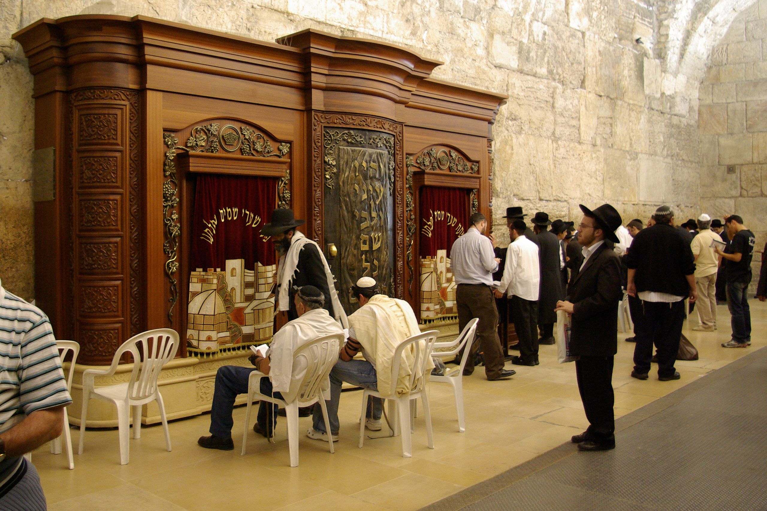
English:
Jerusalem, Western Wall, Synagogue, Torah Ark
Deutsch:
Jerusalem, Westmauer, Synagoge, Toraschrein
|
| Date | |
| Source | Own work |
| Author | Berthold Werner |
Licensing
|
|
I, the copyright holder of this work, release this work into the
public domain
. This applies worldwide.
In some countries this may not be legally possible; if so: I grant anyone the right to use this work for any purpose , without any conditions, unless such conditions are required by law. |
| Annotations | This image is annotated: View the annotations at Commons |