Karte_der_Stadtbahn_Stuttgart_und_des_O-Bus_Esslingen.png
Size of this preview:
620 × 599 pixels
.
Other resolutions:
248 × 240 pixels
|
496 × 480 pixels
|
794 × 768 pixels
|
1,059 × 1,024 pixels
|
2,118 × 2,048 pixels
|
2,806 × 2,713 pixels
.

|
This
transport map
image could be re-created
using
vector graphics
as an
SVG
file
. This has several advantages; see
Commons:Media for cleanup
for more information. If an SVG form of this image is available, please upload it and afterwards replace this template with
{{

vector version available

|

new image name

}}
.
It is recommended to name the SVG file “Karte der Stadtbahn Stuttgart und des O-Bus Esslingen.svg”—then the template Vector version available (or Vva ) does not need the new image name parameter. |
Summary
| Description |
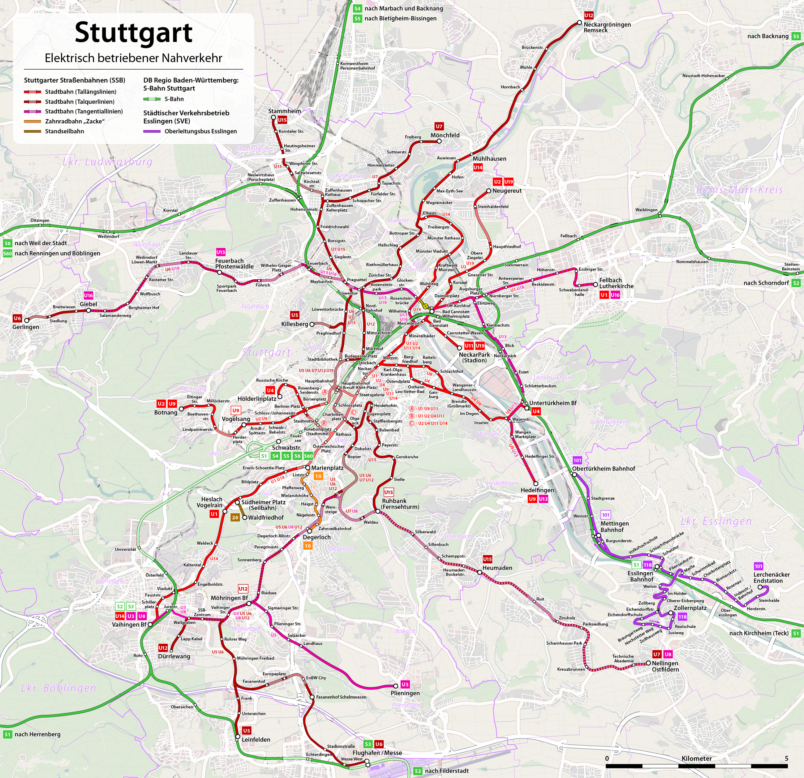
Deutsch:
Karte: Netzplan der Stadtbahn Stuttgart und des Oberleitungsbus Esslingen 2010
English:
Map of the Stuttgart tramway system and the Esslingen trolleybus network 2010
Français :
Plan des réseaux du tramway de Stuttgart et du trolleybus d'Esslingen 2010
|
|||
| Date | see file history | |||
| Source | Own work , using OpenStreetMap data for the background | |||
| Author | Maximilian Dörrbecker ( Chumwa ) | |||
|
Permission
( Reusing this file ) |
All OpenStreetMap data and maps are
Creative Commons
"CC-BY-SA 2.0" licensed
This file is licensed under the
Creative Commons
Attribution-Share Alike 2.0 Generic
license.
|
|||
| Other versions |
|
|
|
This work contains information from
OpenStreetMap
, which is made available under the
Open Database License (ODbL)
.
The ODbL does not require any particular license for maps produced from ODbL data. Prior to 1 August 2020, map tiles produced by the OpenStreetMap Foundation were licensed under the CC-BY-SA-2.0 license . Maps produced by other people may be subject to other licences. |