Karte_der_Umgebung_von_Kopenhagen.jpg
Size of this preview:
371 × 600 pixels
.
Other resolutions:
148 × 240 pixels
|
461 × 745 pixels
.
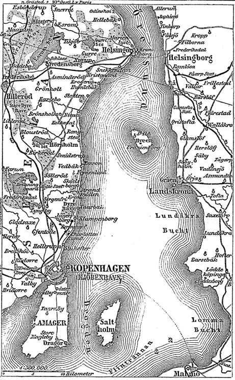
Karte des Öresund / Quelle: Meyers Konversationslexikon von 1888, Band 10, Seite 61
|
|
This image comes from the 4 th edition of Meyers Konversationslexikon (1885–90). The copyrights have expired and this image is in the public domain . |
|
|
This work is in the public domain in its country of origin and other countries and areas where the copyright term is the author's life plus 100 years or fewer . This work is in the public domain in the United States because it was published (or registered with the U.S. Copyright Office ) before January 1, 1929. |
| This file has been identified as being free of known restrictions under copyright law, including all related and neighboring rights. | |
derivative works
Derivative works of this file: København1888 nu bygrænse.JPG