Kearsley_railway_station,_Greater_Manchester_(geograph_5975429).jpg
Size of this preview:
800 × 600 pixels
.
Other resolutions:
320 × 240 pixels
|
640 × 480 pixels
|
1,024 × 768 pixels
|
1,280 × 960 pixels
|
1,600 × 1,200 pixels
.
Summary
| Description |
English:
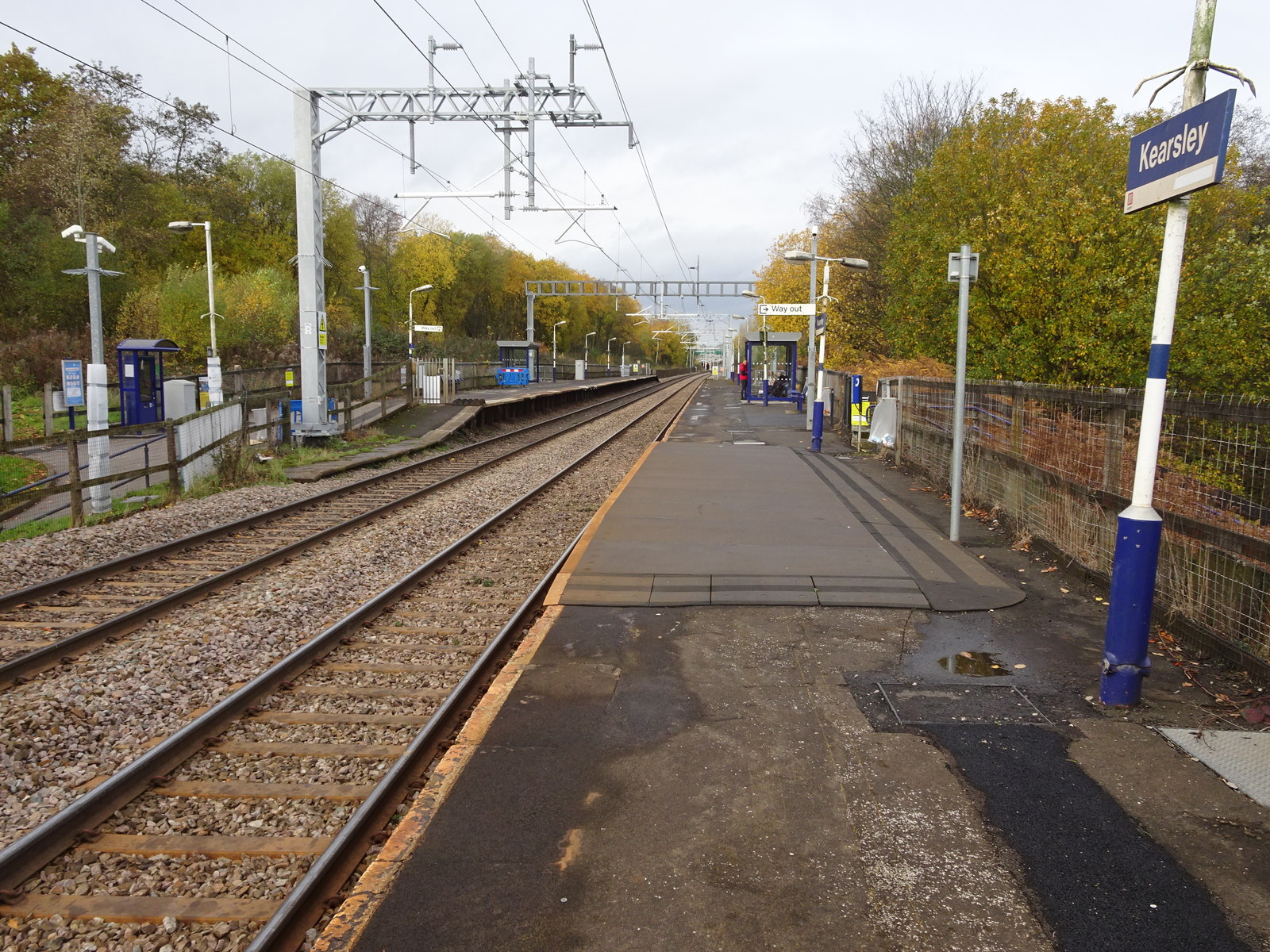
Kearsley railway station, Greater Manchester
Opened in 1838 as "Stoneclough" by the Manchester and Bolton Railway, later part of the Lancashire & Yorkshire Railway, this station's name was changed around 1900 (needs confirmation) to "Kearsley". View north west towards Farnworth and Bolton, shortly after the line was electrified. |
| Date | |
| Source | From geograph.org.uk |
| Author | Nigel Thompson |
|
Permission
( Reusing this file ) |
Creative Commons Attribution Share-alike license 2.0 |
|
Attribution
( required by the license ) |
Nigel Thompson / Kearsley railway station, Greater Manchester / |
| Camera location |
|
View this and other nearby images on: OpenStreetMap |
|
|---|
.jpg¶ms=053.544201_N_-002.374969_E_globe:Earth_type:camera_source:geograph-osgb36(SD75250535)_heading:315.00&language=en)
| Object location |
|
View this and other nearby images on: OpenStreetMap |
|
|---|
.jpg¶ms=053.544380_N_-002.375420_E_globe:Earth_class:object_type:object_source:geograph-osgb36(SD75220537)_heading:315.00&language=en)
Licensing

|
This image was taken from the
Geograph project
collection. See
this photograph's page
on the Geograph website for the photographer's contact details. The copyright on this image is owned by
Nigel Thompson
and is licensed for reuse under the
Creative Commons
Attribution-ShareAlike 2.0 license.
|
This file is licensed under the
Creative Commons
Attribution-Share Alike 2.0 Generic
license.
Attribution:
Nigel Thompson
-
You are free:
- to share – to copy, distribute and transmit the work
- to remix – to adapt the work
-
Under the following conditions:
- attribution – You must give appropriate credit, provide a link to the license, and indicate if changes were made. You may do so in any reasonable manner, but not in any way that suggests the licensor endorses you or your use.
- share alike – If you remix, transform, or build upon the material, you must distribute your contributions under the same or compatible license as the original.