Kenay_peninsula.png
Size of this preview:
800 × 454 pixels
.
Other resolutions:
320 × 182 pixels
|
640 × 364 pixels
|
940 × 534 pixels
.
Summary
| Description |
English:
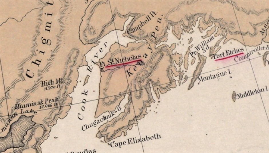
Map of the 'Kenay Peninsular' area in Alaska as depicted in 1867 on the map 'North western America showing the territory ceded by Russia to the United States'
|
| Date | |
| Source | https://www.digitalcommonwealth.org/search/commonwealth:4m90fb79s |
| Author | compiled for the Department of State at the U.S. Coast Survey Office, B. Pierce, Supt. ; drawn by A. Lindenkohl. |
Location of original map: Boston Public Library (Norman B. Leventhal Map Center)
Licensing
This file is licensed under the
Creative Commons
Attribution-Share Alike 4.0 International
license.
-
You are free:
- to share – to copy, distribute and transmit the work
- to remix – to adapt the work
-
Under the following conditions:
- attribution – You must give appropriate credit, provide a link to the license, and indicate if changes were made. You may do so in any reasonable manner, but not in any way that suggests the licensor endorses you or your use.
- share alike – If you remix, transform, or build upon the material, you must distribute your contributions under the same or compatible license as the original.