KennedyCenterFromAir2.JPG
Size of this preview:
800 × 600 pixels
.
Other resolutions:
320 × 240 pixels
|
640 × 480 pixels
|
1,024 × 768 pixels
|
1,280 × 960 pixels
|
1,600 × 1,200 pixels
.
Summary
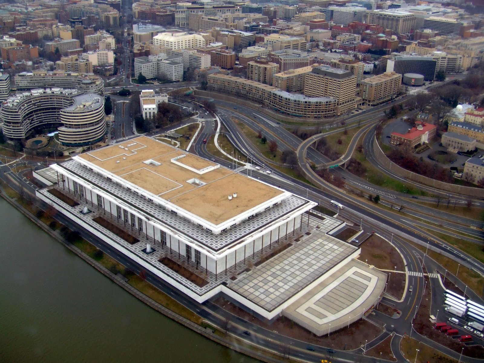
The Kennedy Center photographed from the air. This picture was taken from an American Airlines DC-9-80 inbound to Washington National Airport on January 8, 2006.
El Centro Kennedy fotografiado desde el aire. Esta foto se tomó desde un DC-9-80 de American Airlines despegando de Washington National Airport el 8 de Enenro de 2006.
| Object location |
|
View this and other nearby images on: OpenStreetMap |
|
|---|
Licensing
|
|
I, the copyright holder of this work, release this work into the
public domain
. This applies worldwide.
In some countries this may not be legally possible; if so: I grant anyone the right to use this work for any purpose , without any conditions, unless such conditions are required by law. |