KentlynNSWair.jpg
No higher resolution available.
Summary
| Description |
English:
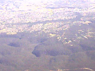
Aerial photograph (taken with a dodgy mobile phone) of the suburb of Kentlyn, NSW. The green line running across the photo in the top half is Smiths Creek Reserve, which separates the suburbs of Campbelltown (top) from Ruse. Kentlyn is the less densely populated area immediately below Ruse. Also visible is the Georges River and Holsworthy army base.
|
| Date | |
| Source | Own work |
| Author | Crico |
Licensing
I, the copyright holder of this work, hereby publish it under the following licenses:
This file is licensed under the
Creative Commons
Attribution-Share Alike 3.0 Unported
license.
-
You are free:
- to share – to copy, distribute and transmit the work
- to remix – to adapt the work
-
Under the following conditions:
- attribution – You must give appropriate credit, provide a link to the license, and indicate if changes were made. You may do so in any reasonable manner, but not in any way that suggests the licensor endorses you or your use.
- share alike – If you remix, transform, or build upon the material, you must distribute your contributions under the same or compatible license as the original.

|
Permission is granted to copy, distribute and/or modify this document under the terms of the GNU Free Documentation License , Version 1.2 or any later version published by the Free Software Foundation ; with no Invariant Sections, no Front-Cover Texts, and no Back-Cover Texts. A copy of the license is included in the section entitled GNU Free Documentation License . |
You may select the license of your choice.