Kentucky_counties_map.png

Size of this preview:
800 × 387 pixels
.
Other resolutions:
320 × 155 pixels
|
640 × 310 pixels
|
1,153 × 558 pixels
.
Summary
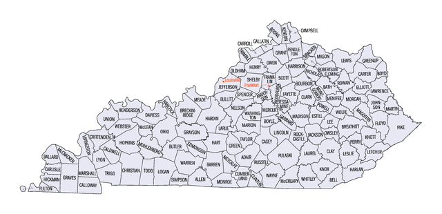
Map of Kentucky counties from http://quickfacts.census.gov/qfd/maps/kentucky_map.html Archived 2013-03-01 at Wikiwix
Licensing
|
|
This image or file is a work of a
United States Census Bureau
employee, taken or made as part of that person's official duties. As a
work
of the
U.S. federal government
, the image is in the
public domain
.
|

|