Kiliansteich_334.jpg

Size of this preview:
750 × 600 pixels
.
Other resolutions:
300 × 240 pixels
|
600 × 480 pixels
|
960 × 768 pixels
|
1,280 × 1,024 pixels
.
Summary
| Description |
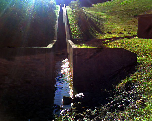
Deutsch:
Abfluß in den Rieschengraben (Rödelbachgraben)
Seitwärts rechts mündet der Grundablaß, von oben kommt der Überlauf (also nur wassergefüllt bei Vollstau - vorher fließt die Vorsperre in den Frankenteich ab). |
| Date | |
| Source | Own work |
| Author | Sarkana |
| Other versions | 10_1011_151334 |
| Camera location |
|
View this and other nearby images on: OpenStreetMap |
|
|---|
Licensing
|
English:
If you want to use this file commercially, you have to do these under the terms of the Free Art License.
Deutsch:
Wenn Sie diese Datei kommerziell nutzen möchten, müssen Sie dies unter den Bedingungen der Licence Art Libre tun.
English:
Otherwise you may choose out of of the following Creative Commons licence:
Deutsch:
Andernfalls können Sie auch die folgende Creative Commons-Lizenz nutzen:
|