King_Island_Houses_USGS_ric00642.jpg
Size of this preview:
800 × 483 pixels
.
Other resolutions:
320 × 193 pixels
|
640 × 386 pixels
|
1,024 × 618 pixels
|
1,280 × 773 pixels
|
2,560 × 1,545 pixels
|
3,936 × 2,376 pixels
.
Summary
| Description |
English:
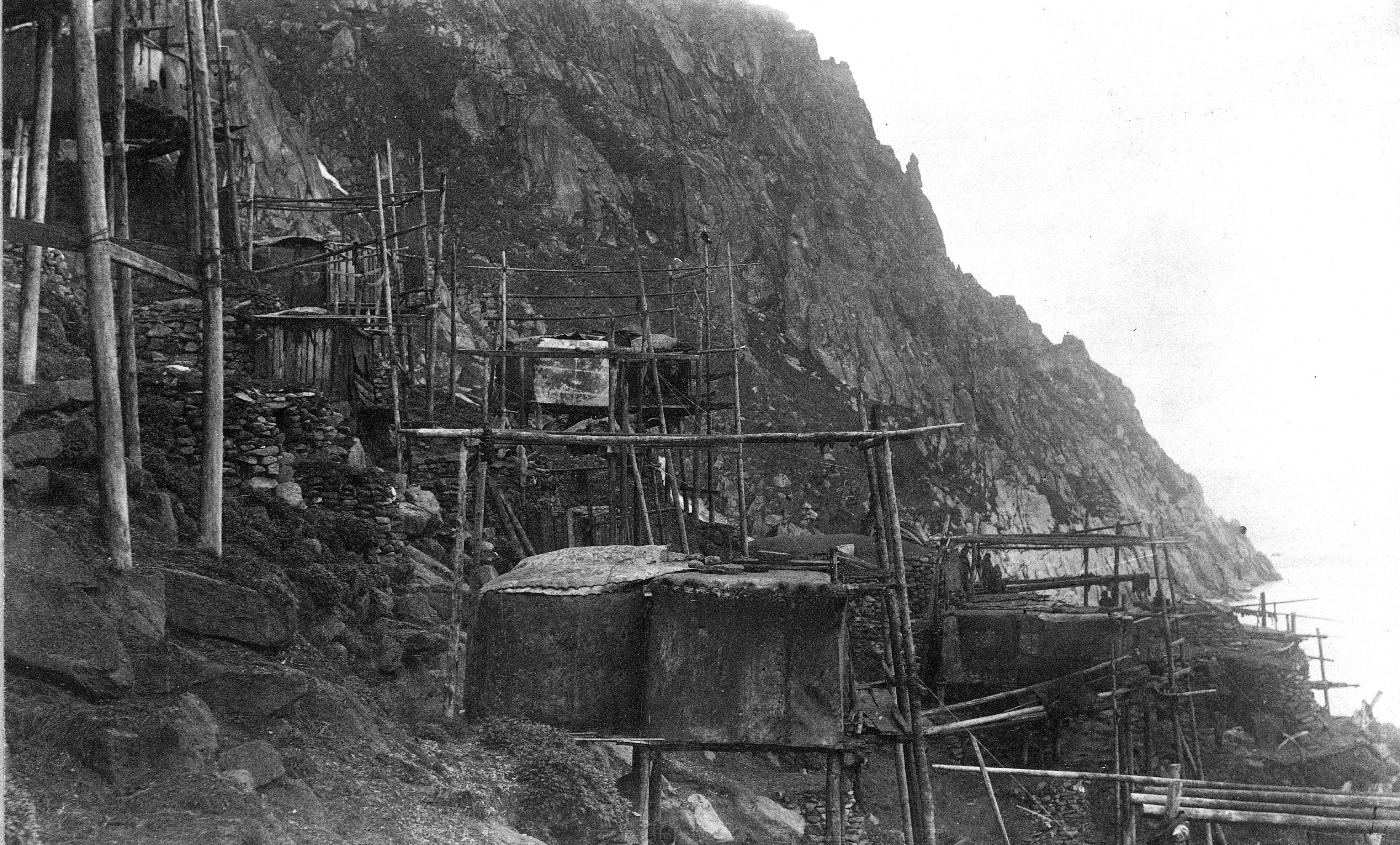
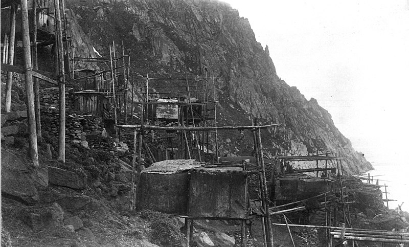
View of Kings Island Houses. Nome district, Seward Penensula region. Alaska. cc 1892. Stilt houses on a rocky bank, built of driftwood poles, planks, and hide or fabric covers. Some stone structures also visible. Several residents visible.
|
| Date | cc 1892 per USGS |
| Source | U.S. Geological Survey Photographic Library [1] High resolution version. |
| Author | Israel C. Russell |
| Camera location |
|
View this and other nearby images on: OpenStreetMap |
|
|---|
Licensing
|
|
This image is in the
public domain
in the United States because it only contains materials that originally came from the
United States Geological Survey
, an agency of the
United States Department of the Interior
. For more information, see
the official USGS copyright policy
.
|
|