Korea_gyeongbokgung.jpg
No higher resolution available.
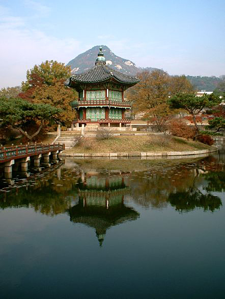
한국어:
대한민국 서울에 위치한
경복궁
의 사진이다
It was photographed by myself ( Kokiri ) .
| Camera location |
|
View this and other nearby images on: OpenStreetMap |
|
|---|
Source: English Wikipedia, see file history

|
Permission is granted to copy, distribute and/or modify this document under the terms of the GNU Free Documentation License , Version 1.2 or any later version published by the Free Software Foundation ; with no Invariant Sections, no Front-Cover Texts, and no Back-Cover Texts. A copy of the license is included in the section entitled GNU Free Documentation License . |
|
|
This file is licensed under the Creative Commons Attribution-Share Alike 3.0 Unported license. | |
|
||
| This licensing tag was added to this file as part of the GFDL licensing update . |
File history English Wikipedia
(del) (cur) 18:43, 12 September 2004 . . Janderk (103594 bytes)
(del) (rev) 14:02, 31 August 2004 . . Kokiri (42033 bytes) (cropped)
(del) (rev) 00:38, 21 August 2004 . . Kokiri (48022 bytes) (larger version)
(del) (rev) 16:41, 20 November 2003 . . Kokiri (13745 bytes) (Gyeongbokgung in Seoul, South Korea; photographed myself)