La_Habana_Nasa.jpg

Size of this preview:
800 × 526 pixels
.
Other resolutions:
320 × 210 pixels
|
640 × 420 pixels
|
1,024 × 673 pixels
|
1,280 × 841 pixels
|
3,032 × 1,992 pixels
.
Summary
| Description |
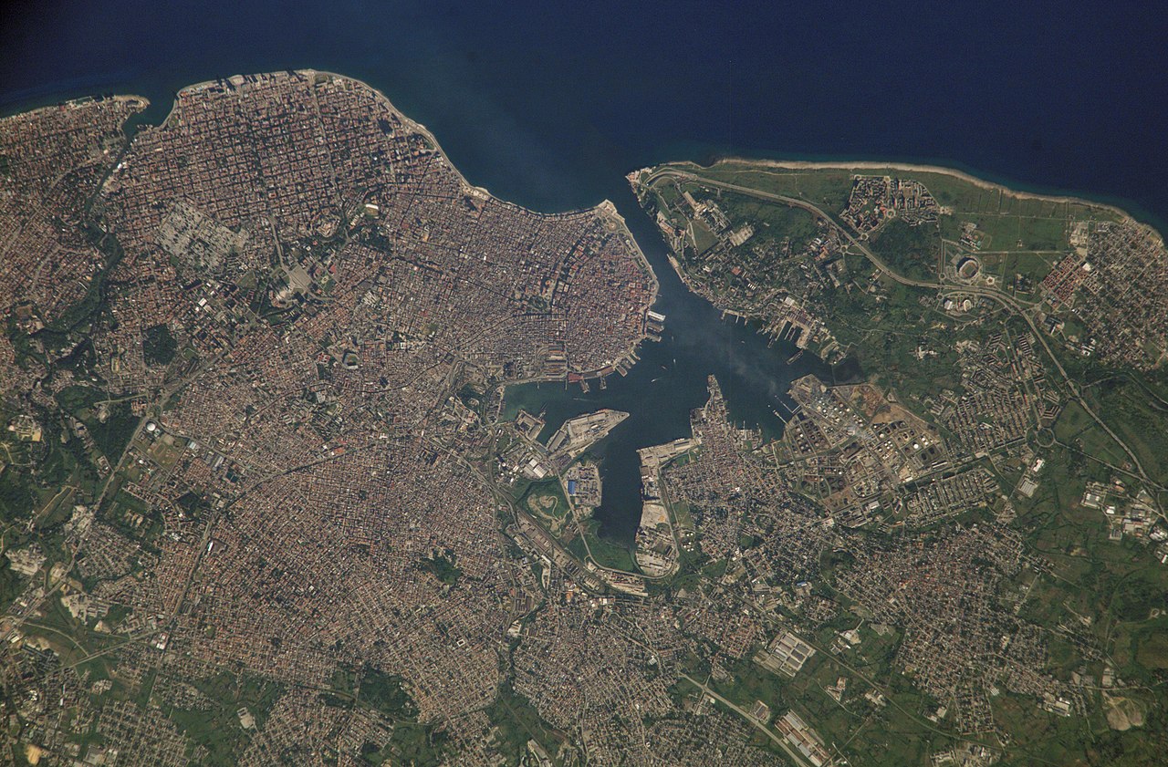
Français :
La Havane, photo satellite. Cuba.
English:
Satellite photo of
en:Havana
, Cuba. It covers the area from the Almenares River to the Bay of Havana, and eastward.
Español:
Foto satelital de
La Habana
. Cubre la zona del río Almenares a la Bahía de La Habana.
|
| Date | Upload 2005-10-14 |
| Source | NASA.gov photo: ISS005-E-18035 (1841kb). |
| Author | U.S. Government, NASA - Upload User:Shaka |
| Camera location |
|
View this and other nearby images on: OpenStreetMap |
|
|---|
Licensing
|
|
This file is in the public domain in the United States because it was solely created by NASA . NASA copyright policy states that "NASA material is not protected by copyright unless noted ". (See Template:PD-USGov , NASA copyright policy page or JPL Image Use Policy .) |
|

|
Warnings:
|