|
Description
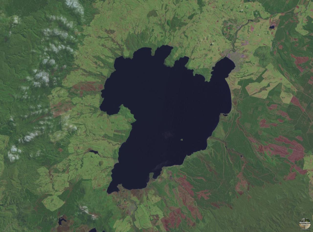
Lake taupo landsat.jpg
|
English:
Lake Taupo
in
New Zealand
's North Island
|
|
Date
|
26 March 2005 (original upload date)
|
|
Source
|
NASA World Wind
Transferred from
File:Lake taupo landsat.jpg
(
log
) at
English Wikipedia
to Commons by
Centic
. The original uploader was
John Fader
at
English Wikipedia
.
|
|
Author
|
NASA
|
Permission
(
Reusing this file
)
|
|
Public domain
Public domain
false
false
|
|
|
This image is in the
public domain
because it is a screenshot from
NASA
’s globe software
World Wind
using a public domain layer, such as Blue Marble, MODIS, Landsat, SRTM, USGS or GLOBE.
العربيَّة
|
English
|
فارسی
|
français
|
עברית
|
македонски
|
മലയാളം
|
Nederlands
|
русский
|
中文(中国大陆)
|
+/−
|
|
|
|
Other versions
|
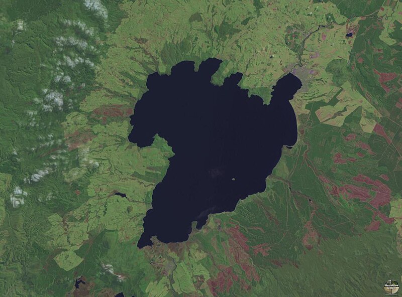
Derivative works of this file:
Lake Taupo landsat -square crop.jpg
|
