Lantau_island_full.jpg

Size of this preview:
800 × 600 pixels
.
Other resolutions:
320 × 240 pixels
|
640 × 480 pixels
|
1,024 × 768 pixels
|
1,280 × 960 pixels
|
2,048 × 1,536 pixels
.
Summary
| Description |
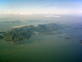
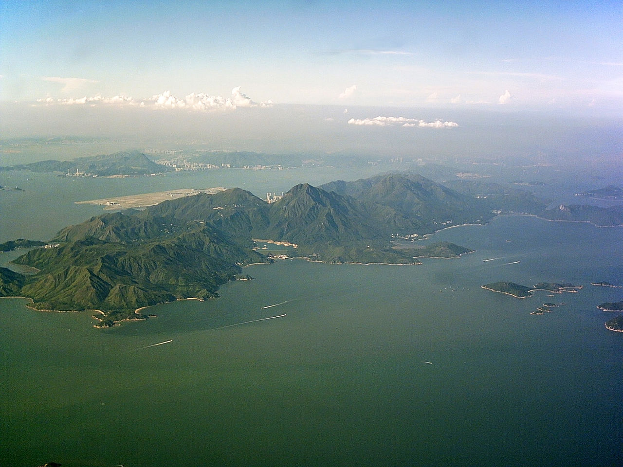
English:
The mountainous
Lantau Island
, stretching from the centre left to up right,
Soko Islands
in the centre right,
Hei Ling Chau
directly above the Chi Ma Wan Peninsula,
Peng Chau
to its left.
Chek Lap Kok Airport
north of
Lantau Island
,
Tuen Mun
directly above.
Shenzhen
can be seen through the thick haze.
|
| Date | |
| Source | Own work |
| Author | Typhoonchaser |
Licensing
I, the copyright holder of this work, hereby publish it under the following licenses:

|
Permission is granted to copy, distribute and/or modify this document under the terms of the GNU Free Documentation License , Version 1.2 or any later version published by the Free Software Foundation ; with no Invariant Sections, no Front-Cover Texts, and no Back-Cover Texts. A copy of the license is included in the section entitled GNU Free Documentation License . |
|
|
This file is licensed under the Creative Commons Attribution-Share Alike 3.0 Unported license. | |
|
||
| This licensing tag was added to this file as part of the GFDL licensing update . |
You may select the license of your choice.
| Annotations | This image is annotated: View the annotations at Commons |