Lee_County_Half-Breed.png
No higher resolution available.
Summary
| Description |
English:
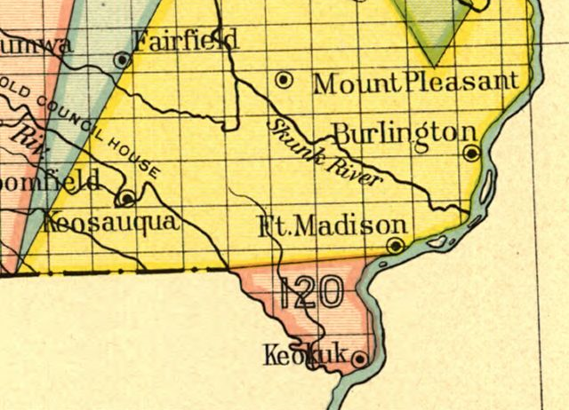
Map of the
w:Half-Breed Tract
in Iowa, a reservation designated for individuals of mixed
American Indian
and
European
descent. This reservation was designated in an 1824 treaty between the
Sac
and the
Fox
Indian tribes and the United States government.
|
||
| Date | Undated, presumably before 1894 | ||
| Source |
Indian Land Cessions in the United States, 1784 to 1894, Iowa map. Published in Charles C. Royce, Indian Land Cessions in the United States (1971). |
||
| Author | United States Bureau of American Ethnology |

| Camera location |
|
View this and other nearby images on: OpenStreetMap |
|
|---|
Licensing
|
|
This work is from the Library of Congress . According to the library, there are no known copyright restrictions on the use of this work. |

|