Loaita_Island_and_surroundings.png

Size of this preview:
800 × 425 pixels
.
Other resolutions:
320 × 170 pixels
|
640 × 340 pixels
|
1,227 × 652 pixels
.
Summary
| Description |
English:
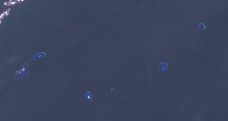
Loaita Island and surrounding reefs.
|
| Date | |
| Source | EarthExplorer: Landsat 7, Path 120, Row 53 - Entity ID: LE71200532003028SGS00 |
| Author | NASA |
| Camera location |
|
View this and other nearby images on: OpenStreetMap |
|
|---|
|
|
This is a
retouched picture
, which means that it has been digitally altered from its original version. Modifications:
Cropped, recolored and cleared cloud.
.
|
Licensing
|
|
This file is in the public domain in the United States because it was solely created by NASA . NASA copyright policy states that "NASA material is not protected by copyright unless noted ". (See Template:PD-USGov , NASA copyright policy page or JPL Image Use Policy .) |
|

|
Warnings:
|
| Annotations | This image is annotated: View the annotations at Commons |