LocationOceania.png

Size of this preview:
800 × 407 pixels
.
Other resolutions:
320 × 163 pixels
|
640 × 326 pixels
|
1,024 × 521 pixels
|
1,280 × 651 pixels
|
2,759 × 1,404 pixels
.
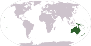
World map depicting Oceania ; map adapted from PDF world map at CIA World Fact Book
Light Green: Regions often included in Oceania

|
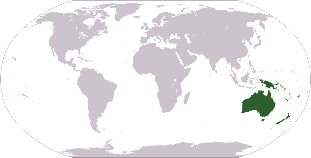
File:LocationOceania.svg
is a vector version of this file. It should be used in place of this PNG file when not inferior.
File:LocationOceania.png →
File:LocationOceania.svg
For more information, see
Help:SVG
.
|

|
|
|
This image is in the
public domain
because it contains materials that originally came from the United States
Central Intelligence Agency
's
World Factbook
.
|

|
derivative works
Derivative works of this file: Wikinews Australia i Oceania mapa.png