Location_map_of_Mari_El_2.svg

Size of this PNG preview of this SVG file:
800 × 500 pixels
.
Other resolutions:
320 × 200 pixels
|
640 × 400 pixels
|
1,024 × 640 pixels
|
1,280 × 800 pixels
|
2,560 × 1,600 pixels
|
3,497 × 2,185 pixels
.
Summary
| Description |
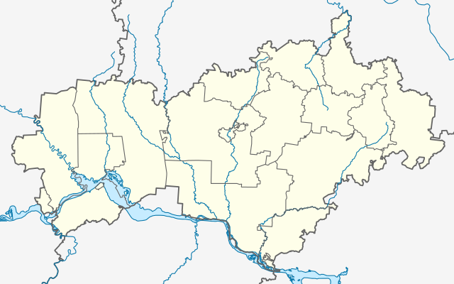
Русский:
Позиционная карта Республики Марий Эл
English:
Location map of Republic of Mari El
|
| Date | |
| Source | Own work |
| Author | Gajmar |
Licensing
I, the copyright holder of this work, hereby publish it under the following license:
This file is licensed under the
Creative Commons
Attribution-Share Alike 4.0 International
license.
-
You are free:
- to share – to copy, distribute and transmit the work
- to remix – to adapt the work
-
Under the following conditions:
- attribution – You must give appropriate credit, provide a link to the license, and indicate if changes were made. You may do so in any reasonable manner, but not in any way that suggests the licensor endorses you or your use.
- share alike – If you remix, transform, or build upon the material, you must distribute your contributions under the same or compatible license as the original.