London_Woolwich_Tramp_steamer_geograph-3080372-by-Ben-Brooksbank.jpg
Size of this preview:
800 × 482 pixels
.
Other resolutions:
320 × 193 pixels
|
640 × 385 pixels
|
1,024 × 616 pixels
|
1,280 × 770 pixels
|
2,404 × 1,447 pixels
.
Summary
| Description |
English:
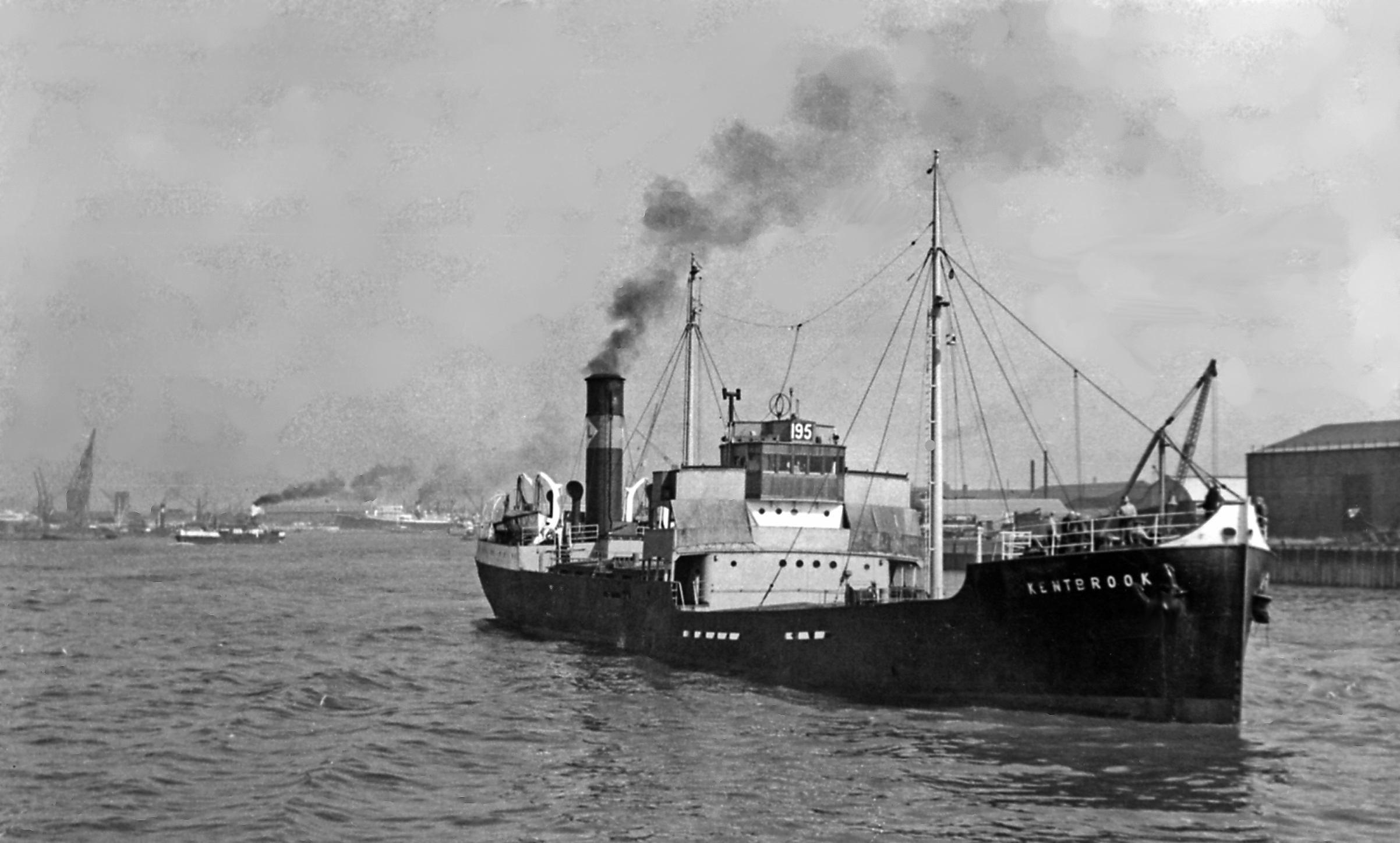
Tramp steamer 'Kentbrook' running upstream off Woolwich.
View eastward, from a pleasure steamer returning from Southend, the 'Kentbrook' was wrecked near Orfordness in a storm on 14/2/54. |
| Date | |
| Source | From geograph.org.uk |
| Author | Ben Brooksbank |
|
Permission
( Reusing this file ) |
Creative Commons Attribution Share-alike license 2.0 |
|
Attribution
( required by the license ) |
Ben Brooksbank / Tramp steamer 'Kentbrook' running upstream off Woolwich / |
| Camera location |
|
View this and other nearby images on: OpenStreetMap |
|
|---|
Licensing

|
This image was taken from the
Geograph project
collection. See
this photograph's page
on the Geograph website for the photographer's contact details. The copyright on this image is owned by
Ben Brooksbank
and is licensed for reuse under the
Creative Commons
Attribution-ShareAlike 2.0 license.
|
This file is licensed under the
Creative Commons
Attribution-Share Alike 2.0 Generic
license.
Attribution:
Ben Brooksbank
-
You are free:
- to share – to copy, distribute and transmit the work
- to remix – to adapt the work
-
Under the following conditions:
- attribution – You must give appropriate credit, provide a link to the license, and indicate if changes were made. You may do so in any reasonable manner, but not in any way that suggests the licensor endorses you or your use.
- share alike – If you remix, transform, or build upon the material, you must distribute your contributions under the same or compatible license as the original.