Loosduinen_molen_met_zonnewijzer.jpg
Size of this preview:
400 × 600 pixels
.
Other resolutions:
160 × 240 pixels
|
320 × 480 pixels
|
512 × 768 pixels
|
682 × 1,024 pixels
|
1,365 × 2,048 pixels
|
2,592 × 3,888 pixels
.
Summary
| Description |
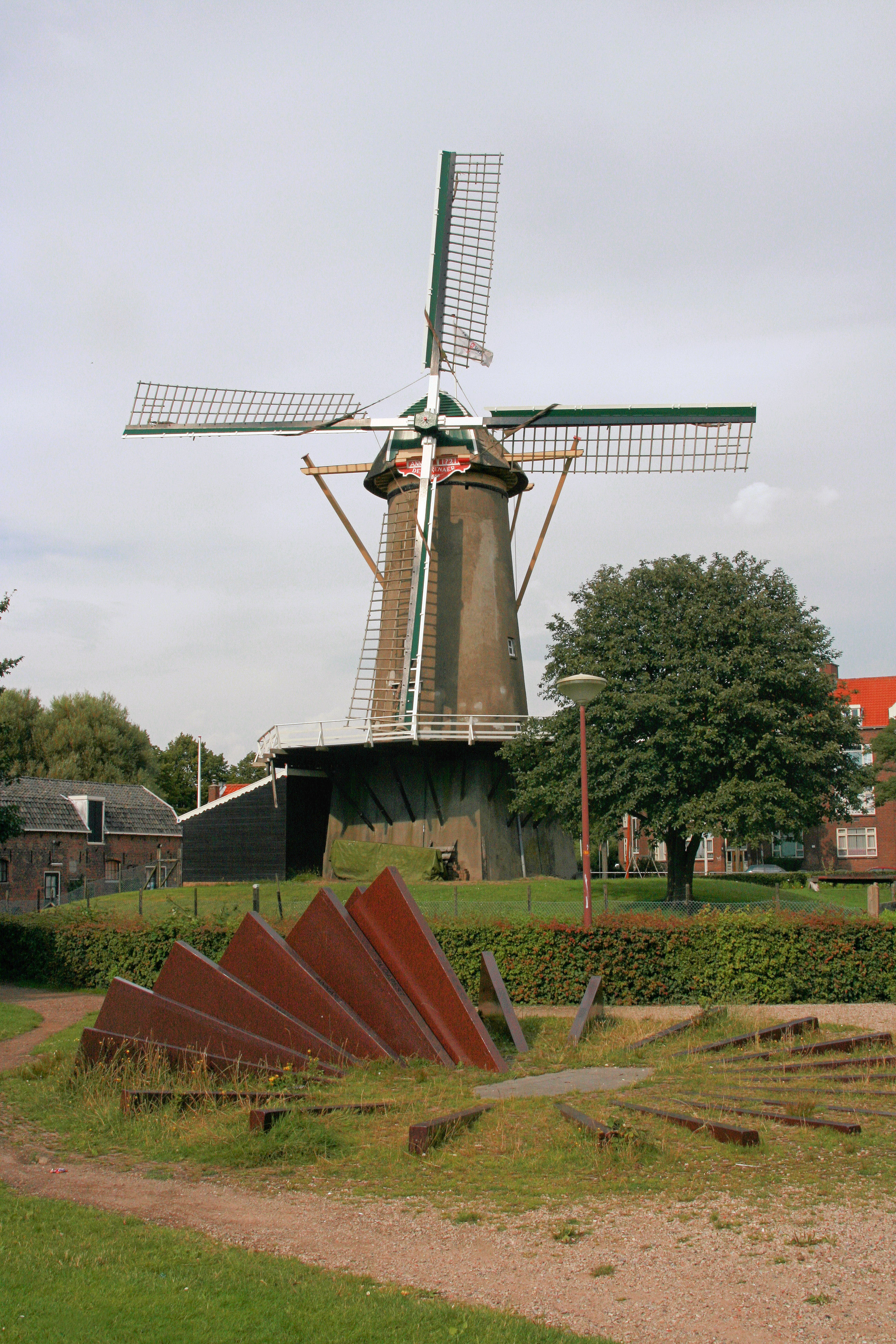
Nederlands:
Molen en zonnewijzer in Loosduinen
|
||
| Date | |||
| Source |
Transfered from
nl.wikipedia
|
||
| Author | Quistnix at nl.wikipedia | ||
|
Permission
( Reusing this file ) |
CC-BY-SA-2.5.
|
| Object location |
|
View this and other nearby images on: OpenStreetMap |
|
|---|
Licensing
Quistnix
at
nl.wikipedia
, the copyright holder of this work, hereby publishes it under the following license:
This file is licensed under the
Creative Commons
Attribution-Share Alike 2.5 Generic
license.
Attribution:
Quistnix
at
nl.wikipedia
-
You are free:
- to share – to copy, distribute and transmit the work
- to remix – to adapt the work
-
Under the following conditions:
- attribution – You must give appropriate credit, provide a link to the license, and indicate if changes were made. You may do so in any reasonable manner, but not in any way that suggests the licensor endorses you or your use.
- share alike – If you remix, transform, or build upon the material, you must distribute your contributions under the same or compatible license as the original.
Original upload log
The original description page was
here
. All following user names refer to nl.wikipedia.
- 2007-07-25 05:52 Quistnix 2592×3888×8 (4973553 bytes) {{Information |Description=Molen en zonnewijzer in Loosduinen |Source=Eigen foto |Date=21 juli 2007 |Author=[[:nl:Gebruiker:Quistnix|Quistnix]] |Permission=CC-BY-SA |other_versions= }}