Lower_River_districts.png
Size of this preview:
738 × 600 pixels
.
Other resolutions:
295 × 240 pixels
|
591 × 480 pixels
|
950 × 772 pixels
.
Summary
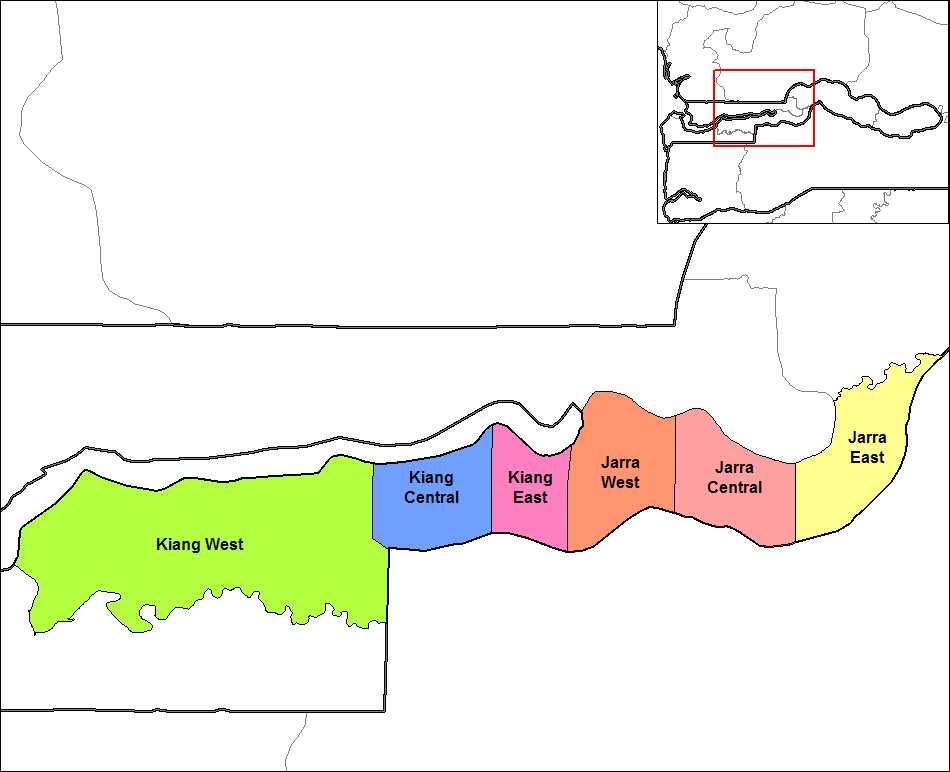
| Description | Map of the districts of Lower River division in The Gambia. |
| Date | |
| Source | Created by Rarelibra 17:45, 14 September 2006 (UTC) for public domain use, using MapInfo Professional v8.5 and various mapping resources. (Originally uploaded on en.wikipedia) |
| Author | Rarelibra |
| Other versions |
|

|
|
This is a
retouched picture
, which means that it has been digitally altered from its original version. Modifications:
Translated to Arabic
. The original can be viewed here:
North Bank districts.png
:
|
Licensing
|
|
This work has been released into the
public domain
by its author,
Rarelibra
. This applies worldwide.
In some countries this may not be legally possible; if so:
|
Original upload log
The original description page was
here
. All following user names refer to en.wikipedia.
Upload date | User | Bytes | Dimensions | Comment
- 2006-09-14 17:45:54 | Rarelibra | 24598 | 1056×816 | Map of the districts of Lower River division in The Gambia. Created by ~~~~ for public domain use, using MapInfo Professional v8.5 and various mapping resources.