Lower_Tasman_Glacier_towards_Minarets.jpg

Size of this preview:
800 × 533 pixels
.
Other resolutions:
320 × 213 pixels
|
640 × 427 pixels
|
1,024 × 683 pixels
|
1,280 × 853 pixels
|
2,560 × 1,707 pixels
|
4,896 × 3,264 pixels
.
Summary
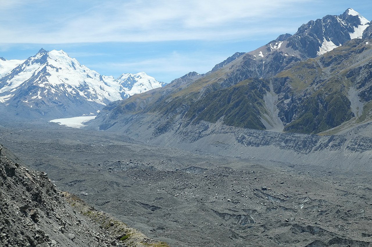
| Description | Lower Tasman Glacier towards Minarets , approximately 4 km wide at this point. The slow-moving glacier ice has over time been completely covered with gravelly debris up to where it curves out of the upper valley, visible in the distance. Malte Brun Range on the right. |
| Date | |
| Source | Own work |
| Author | Pseudopanax at English Wikipedia |
| Camera location |
|
View this and other nearby images on: OpenStreetMap |
|
|---|
Licensing
|
|
I, the copyright holder of this work, release this work into the
public domain
. This applies worldwide.
In some countries this may not be legally possible; if so: I grant anyone the right to use this work for any purpose , without any conditions, unless such conditions are required by law. |