Lunt_Roman_Fort_main_gate.jpg
Size of this preview:
446 × 599 pixels
.
Other resolutions:
178 × 240 pixels
|
357 × 480 pixels
|
742 × 997 pixels
.
| Description |
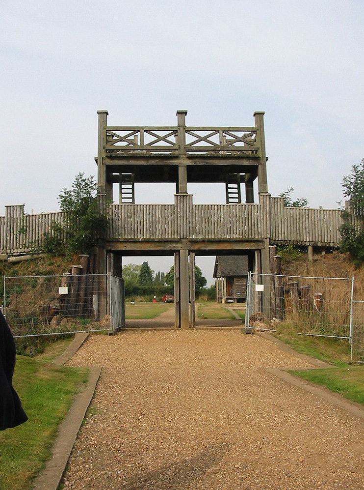
English:
The reconstructed main entrance gate to Lunt Roman Fort near
Coventry
, UK.
|
|
| Date | ||
| Source | Own work | |
| Author | Chris McKenna ( Thryduulf ( talk )) | |
|
Permission
( Reusing this file ) |
Chris McKenna (
en:User:Thryduulf
), the copyright holder of this work, hereby publishes it under the following licenses:
This file is licensed under the
Creative Commons
Attribution-Share Alike 4.0 International
license.
Attribution:
Chris McKenna (
Thryduulf
)
This file is licensed under the
Creative Commons
Attribution-Share Alike
3.0 Unported
,
2.5 Generic
,
2.0 Generic
and
1.0 Generic
license.
Attribution:
Chris McKenna (
Thryduulf
)
You may select the license of your choice.
|
| Camera location |
|
View this and other nearby images on: OpenStreetMap |
|
|---|