Mahurangi_Harbor.jpg
Size of this preview:
800 × 533 pixels
.
Other resolutions:
320 × 213 pixels
|
640 × 427 pixels
|
1,024 × 683 pixels
|
1,280 × 853 pixels
|
2,560 × 1,707 pixels
|
5,344 × 3,563 pixels
.
Summary
| Description |
English:
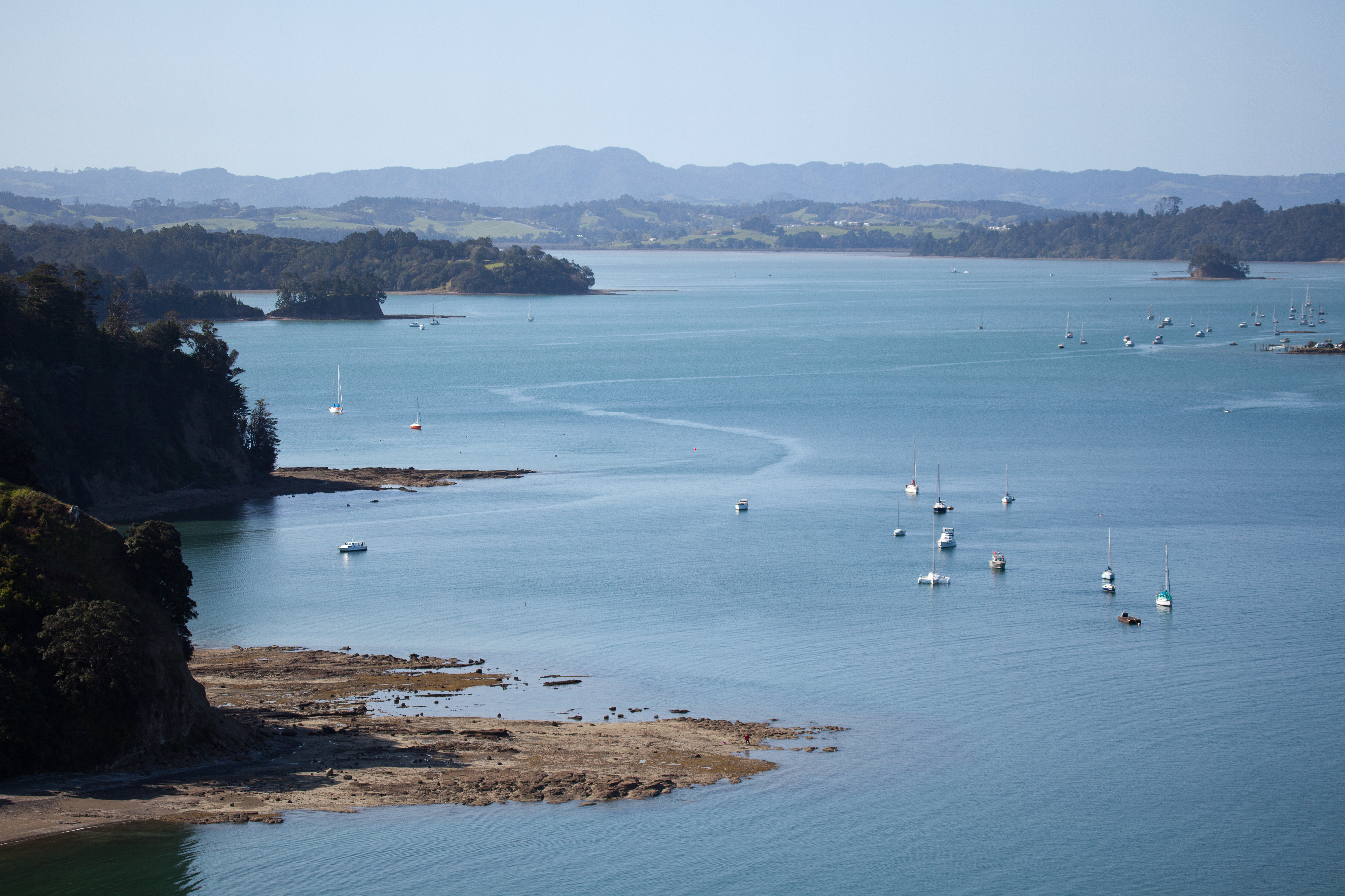
Looking north up Mahurangi Harbour in the Auckland Region
|
| Date | Taken on 23 October 2010, 16:39:50 |
| Source | https://www.flickr.com/photos/russellstreet/5476152942/ |
| Author | russellstreet |
| Camera location |
|
View this and other nearby images on: OpenStreetMap |
|
|---|
Licensing
This file is licensed under the
Creative Commons
Attribution-Share Alike 2.0 Generic
license.
-
You are free:
- to share – to copy, distribute and transmit the work
- to remix – to adapt the work
-
Under the following conditions:
- attribution – You must give appropriate credit, provide a link to the license, and indicate if changes were made. You may do so in any reasonable manner, but not in any way that suggests the licensor endorses you or your use.
- share alike – If you remix, transform, or build upon the material, you must distribute your contributions under the same or compatible license as the original.
|
|
This image was originally posted to Flickr by russellstreet at https://flickr.com/photos/27345927@N07/5476152942 . It was reviewed on 19 April 2022 by FlickreviewR 2 and was confirmed to be licensed under the terms of the cc-by-sa-2.0. |