Map-Latin_America.svg

Size of this PNG preview of this SVG file:
480 × 600 pixels
.
Other resolutions:
192 × 240 pixels
|
384 × 480 pixels
|
614 × 768 pixels
|
819 × 1,024 pixels
|
1,638 × 2,048 pixels
|
1,000 × 1,250 pixels
.
| Description |
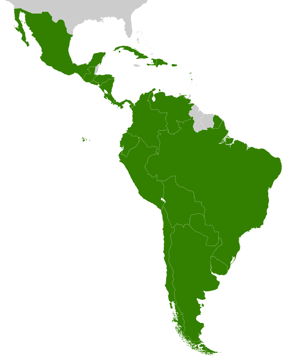
Español:
Ubicación de América Latina
|
| Date | (UTC) |
| Source | |
| Author |
|
| Other versions | Derivative works of this file: South America-en.svg |
|
|
This is a
retouched picture
, which means that it has been digitally altered from its original version. Modifications:
svg
. The original can be viewed here:
Map-Latin America2.png
:
|
|
|
I, the copyright holder of this work, release this work into the
public domain
. This applies worldwide.
In some countries this may not be legally possible; if so: I grant anyone the right to use this work for any purpose , without any conditions, unless such conditions are required by law. |
Original upload log
This image is a derivative work of the following images:
-
File:Map-Latin_America2.png
licensed with PD-user
- 2008-12-07T11:47:23Z Osado 390x450 (23998 Bytes) {{Information |Description= |Source= |Date= |Author= |Permission= |other_versions= }}
- 2008-10-20T07:07:10Z Pruxo 390x450 (21175 Bytes) malvinas part of latinoamerica
- 2008-10-15T16:02:16Z Pruxo 390x450 (21150 Bytes) mejora de "Imagen:Map-Latin America2.png", agregando islas en chile, agregando las Islas malvinas (o falklands) con color neutral, pasando la Guayana francesa junto con las demas guayanas (es territorio de ultramar frances,
- 2006-02-25T21:55:59Z NoIdeaNick 390x450 (22987 Bytes) Changed map to reflect the fact that Jamaica is not part of Latin America.
- 2006-01-19T14:36:54Z NoIdeaNick 390x450 (23048 Bytes) Just a little change to the color of Belize.
- 2005-12-21T23:29:05Z Yug 390x450 (20689 Bytes) Zoom